Pierre 3 Ne Topo Map South Dakota
To zoom in, hover over the map of Pierre 3 Ne
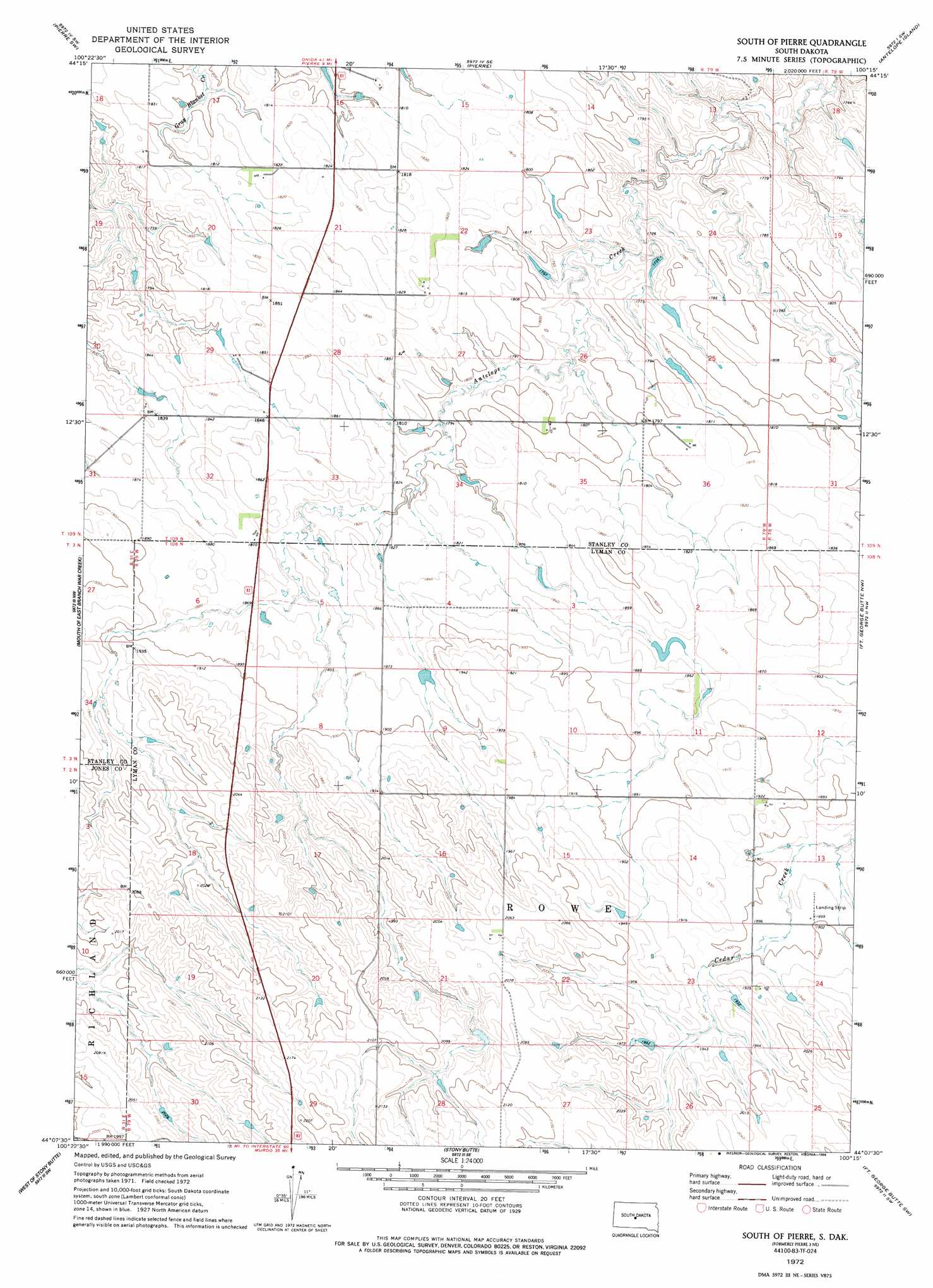
USGS Topo Quad 44100b3 - 1:24,000 scale
| Topo Map Name: | Pierre 3 Ne |
| USGS Topo Quad ID: | 44100b3 |
| Print Size: | ca. 21 1/4" wide x 27" high |
| Southeast Coordinates: | 44.125° N latitude / 100.25° W longitude |
| Map Center Coordinates: | 44.1875° N latitude / 100.3125° W longitude |
| U.S. State: | SD |
| Filename: | o44100b3.jpg |
| Download Map JPG Image: | Pierre 3 Ne topo map 1:24,000 scale |
| Map Type: | Topographic |
| Topo Series: | 7.5´ |
| Map Scale: | 1:24,000 |
| Source of Map Images: | United States Geological Survey (USGS) |
| Alternate Map Versions: |
Pierre 3 NE SD 1972, updated 1975 Download PDF Buy paper map South of Pierre SD 1972, updated 1994 Download PDF Buy paper map South of Pierre SD 2012 Download PDF Buy paper map South of Pierre SD 2015 Download PDF Buy paper map |
| FStopo: | US Forest Service topo South of Pierre is available: Download FStopo PDF Download FStopo TIF |
1:24,000 Topo Quads surrounding Pierre 3 Ne
Willow Creek Butte |
Oahe Dam |
Pierre Ne |
Canning Nw |
Canning |
Teton |
Pierre Sw |
Pierre |
Antelope Island |
Rousseau |
Wendte Ne |
Pierre 3 Nw |
Pierre 3 Ne |
Fort George Butte Nw |
Fort George Butte |
Wendte Se |
Pierre 3 Sw |
Pierre 3 Se |
Fort George Butte Sw |
Fort George Butte Se |
Draper |
Vivian Nw |
Vivian |
Presho Nw |
Presho |
> Back to 44100a1 at 1:100,000 scale
> Back to 44100a1 at 1:250,000 scale
> Back to U.S. Topo Maps home
Pierre 3 Ne topo map: Gazetteer
Pierre 3 Ne: Dams
Carl Hansen Dam elevation 550m 1804′Lookout Dam elevation 634m 2080′
Pierre 3 Ne digital topo map on disk
Buy this Pierre 3 Ne topo map showing relief, roads, GPS coordinates and other geographical features, as a high-resolution digital map file on DVD:
Eastern North Dakota & Eastern South Dakota
Buy digital topo maps: Eastern North Dakota & Eastern South Dakota