Grindstone Sw Topo Map South Dakota
To zoom in, hover over the map of Grindstone Sw
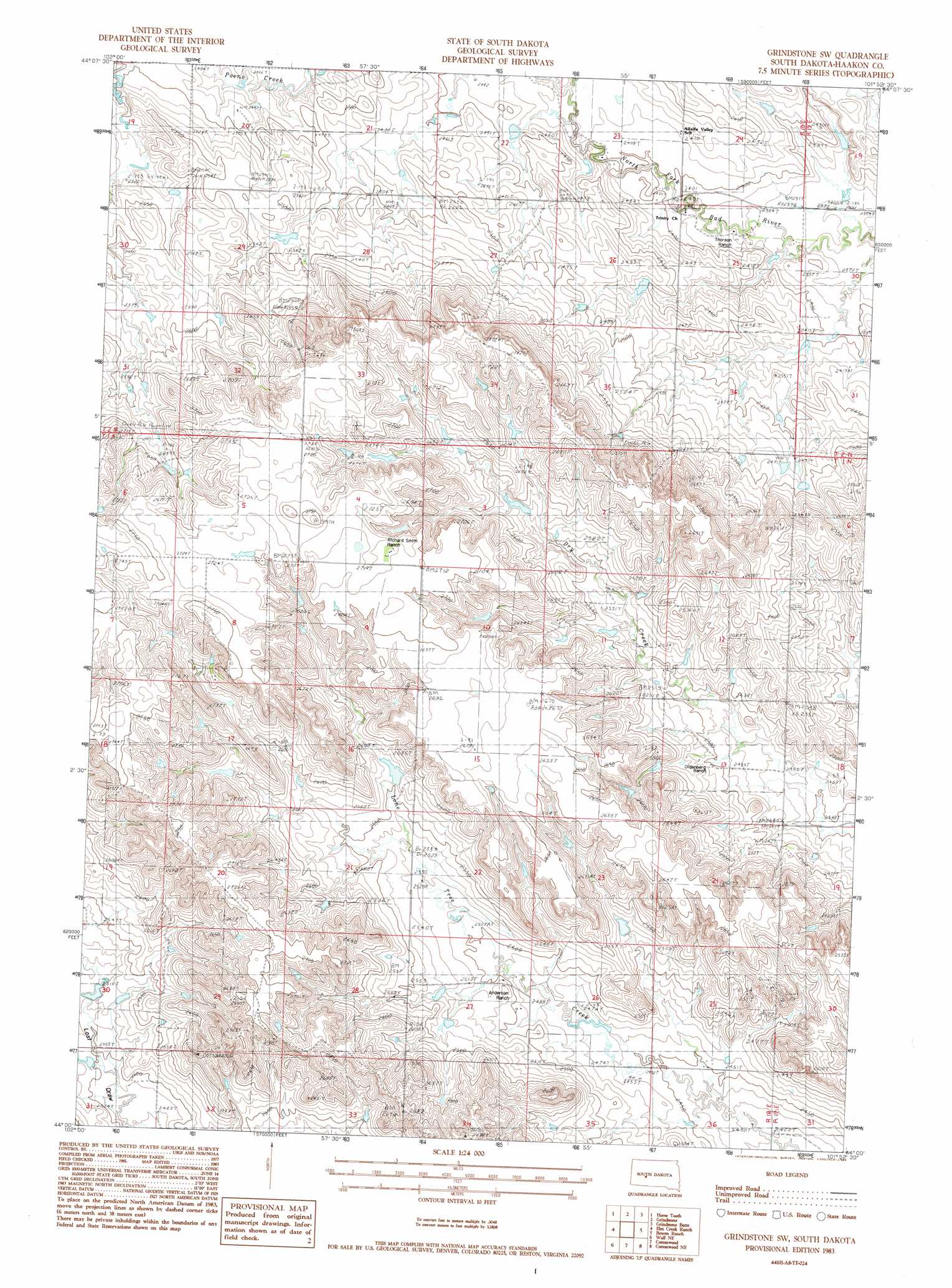
USGS Topo Quad 44101a8 - 1:24,000 scale
| Topo Map Name: | Grindstone Sw |
| USGS Topo Quad ID: | 44101a8 |
| Print Size: | ca. 21 1/4" wide x 27" high |
| Southeast Coordinates: | 44° N latitude / 101.875° W longitude |
| Map Center Coordinates: | 44.0625° N latitude / 101.9375° W longitude |
| U.S. State: | SD |
| Filename: | o44101a8.jpg |
| Download Map JPG Image: | Grindstone Sw topo map 1:24,000 scale |
| Map Type: | Topographic |
| Topo Series: | 7.5´ |
| Map Scale: | 1:24,000 |
| Source of Map Images: | United States Geological Survey (USGS) |
| Alternate Map Versions: |
Grindstone SW SD 1983, updated 1984 Download PDF Buy paper map Grindstone SW SD 2012 Download PDF Buy paper map Grindstone SW SD 2015 Download PDF Buy paper map |
1:24,000 Topo Quads surrounding Grindstone Sw
Creighton |
Pedro Se |
Post Ranch |
Hilland |
Elbon |
Pedrow 4 Nw |
Horse Tooth |
Grindstone |
Grindstone Butte |
Elevenmile Corner |
Lake Hill |
Elm Creek Ranch |
Grindstone Sw |
Bowen Ranch |
Philip |
Wall |
Wall Ne |
Cottonwood |
Cottonwood Ne |
Philip Junction |
Wall Sw |
Wall Se |
Cottonwood Sw |
Cottonwood Se |
Weta |
> Back to 44101a1 at 1:100,000 scale
> Back to 44100a1 at 1:250,000 scale
> Back to U.S. Topo Maps home
No gazetteer data is available for the Grindstone Sw topo map sheet.
Grindstone Sw digital topo map on disk
Buy this Grindstone Sw topo map showing relief, roads, GPS coordinates and other geographical features, as a high-resolution digital map file on DVD:
Eastern North Dakota & Eastern South Dakota
Buy digital topo maps: Eastern North Dakota & Eastern South Dakota