Herbert Creek Topo Map South Dakota
To zoom in, hover over the map of Herbert Creek
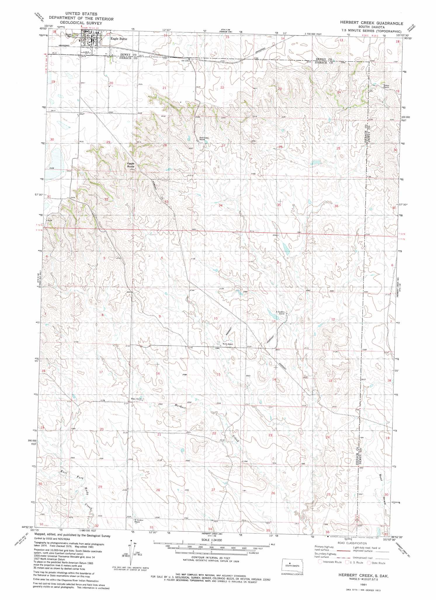
USGS Topo Quad 44101h2 - 1:24,000 scale
| Topo Map Name: | Herbert Creek |
| USGS Topo Quad ID: | 44101h2 |
| Print Size: | ca. 21 1/4" wide x 27" high |
| Southeast Coordinates: | 44.875° N latitude / 101.125° W longitude |
| Map Center Coordinates: | 44.9375° N latitude / 101.1875° W longitude |
| U.S. State: | SD |
| Filename: | o44101h2.jpg |
| Download Map JPG Image: | Herbert Creek topo map 1:24,000 scale |
| Map Type: | Topographic |
| Topo Series: | 7.5´ |
| Map Scale: | 1:24,000 |
| Source of Map Images: | United States Geological Survey (USGS) |
| Alternate Map Versions: |
Herbert Creek SD 1981, updated 1981 Download PDF Buy paper map Herbert Creek SD 2012 Download PDF Buy paper map Herbert Creek SD 2015 Download PDF Buy paper map |
1:24,000 Topo Quads surrounding Herbert Creek
Lantry Nw |
Lantry Ne |
Parade Nw |
Parade Ne |
Ridgeview Nw |
Lantry |
Lantry Se |
Parade Sw |
Parade |
Ridgeview Sw |
High Elk Hill Nw |
High Elk Hill |
Herbert Creek |
Herbert Creek Ne |
Rousseau Creek Nw |
High Elk Hill Sw |
High Elk Hill Se |
Herbert Creek Sw |
Herbert Creek Se |
Rousseau Creek Sw |
Cherry Creek Nw |
Carlin Flat |
Alleman Station |
Sansarc Ne |
Crokett Mountains |
> Back to 44101e1 at 1:100,000 scale
> Back to 44100a1 at 1:250,000 scale
> Back to U.S. Topo Maps home
Herbert Creek topo map: Gazetteer
Herbert Creek: Dams
R Keckley Number 1 Dam elevation 641m 2103′R Keckley Number 2 Dam elevation 630m 2066′
Herbert Creek: Parks
Shupic Park elevation 734m 2408′Herbert Creek: Summits
Eagle Butte elevation 756m 2480′Herbert Creek digital topo map on disk
Buy this Herbert Creek topo map showing relief, roads, GPS coordinates and other geographical features, as a high-resolution digital map file on DVD:
Eastern North Dakota & Eastern South Dakota
Buy digital topo maps: Eastern North Dakota & Eastern South Dakota