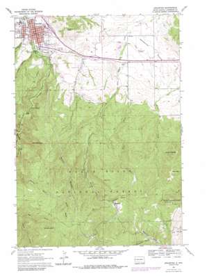
Spearfish Topo Map South Dakota
To zoom in, hover over the map of Spearfish
USGS Topo Quad 44103d7 - 1:24,000 scale
| Topo Map Name: | Spearfish |
| USGS Topo Quad ID: | 44103d7 |
| Print Size: | ca. 21 1/4" wide x 27" high |
| Southeast Coordinates: | 44.375° N latitude / 103.75° W longitude |
| Map Center Coordinates: | 44.4375° N latitude / 103.8125° W longitude |
| U.S. State: | SD |
| Filename: | o44103d7.jpg |
| Download Map JPG Image: | Spearfish topo map 1:24,000 scale |
| Map Type: | Topographic |
| Topo Series: | 7.5´ |
| Map Scale: | 1:24,000 |
| Source of Map Images: | United States Geological Survey (USGS) |
| Alternate Map Versions: |
Spearfish SD 1961, updated 1963 Download PDF Buy paper map Spearfish SD 1961, updated 1968 Download PDF Buy paper map Spearfish SD 1961, updated 1972 Download PDF Buy paper map Spearfish SD 1961, updated 1979 Download PDF Buy paper map Spearfish SD 1961, updated 1986 Download PDF Buy paper map Spearfish SD 1961, updated 1986 Download PDF Buy paper map Spearfish SD 2012 Download PDF Buy paper map Spearfish SD 2015 Download PDF Buy paper map |
| FStopo: | US Forest Service topo Spearfish is available: Download FStopo PDF Download FStopo TIF |
1:24,000 Topo Quads surrounding Spearfish
> Back to 44103a1 at 1:100,000 scale
> Back to 44102a1 at 1:250,000 scale
> Back to U.S. Topo Maps home
Spearfish topo map: Gazetteer
Spearfish: Airports
Black Hills Airport elevation 1185m 3887′Spearfish: Mines
Adelphi Mine (historical) elevation 1634m 5360′Carroll Mine elevation 1645m 5396′
Deadbroke Mine elevation 1546m 5072′
Eagle Bird Mine elevation 1642m 5387′
Echo Mine (historical) elevation 1563m 5127′
Imperial Mine (historical) elevation 1586m 5203′
Iron Hill Mine (historical) elevation 1669m 5475′
Kicking Horse Mine (historical) elevation 1625m 5331′
Lewis Lime Plant Mine elevation 1226m 4022′
Seabury-Calkins Mine (historical) elevation 1616m 5301′
Segregated Iron Hill Mine elevation 1697m 5567′
Spanish R Mine elevation 1616m 5301′
Spearfiss Sandstone Quarry Mine elevation 1224m 4015′
Wells Fargo Mine (historical) elevation 1650m 5413′
Spearfish: Populated Places
Carbonate (historical) elevation 1694m 5557′Lancaster City (historical) elevation 1528m 5013′
Maitland elevation 1493m 4898′
Spearfish elevation 1112m 3648′
Spearfish: Streams
Cole Creek elevation 1461m 4793′Tetro Creek elevation 1228m 4028′
Spearfish: Summits
Green Mountain elevation 1623m 5324′Lookout Peak elevation 1357m 4452′
Mount Theodore Roosevelt elevation 1734m 5688′
Polo Peak elevation 1650m 5413′
Richmond Hill elevation 1845m 6053′
Spearfish Peak elevation 1757m 5764′
Tetro Rock elevation 1698m 5570′
Spearfish: Valleys
Burno Gulch elevation 1294m 4245′Chism Gulch elevation 1586m 5203′
Fish Hatchery Gulch elevation 1132m 3713′
Hungry Hollow Gulch elevation 1120m 3674′
Paradise Gulch elevation 1482m 4862′
Riggs Gulch elevation 1252m 4107′
Sheeptail Gulch elevation 1537m 5042′
Spearfish Canyon elevation 1135m 3723′
Spearfish digital topo map on disk
Buy this Spearfish topo map showing relief, roads, GPS coordinates and other geographical features, as a high-resolution digital map file on DVD:
Eastern Wyoming & Western South Dakota
Buy digital topo maps: Eastern Wyoming & Western South Dakota


