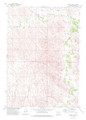
Mitchell Draw Topo Map Wyoming
To zoom in, hover over the map of Mitchell Draw
USGS Topo Quad 44106d2 - 1:24,000 scale
| Topo Map Name: | Mitchell Draw |
| USGS Topo Quad ID: | 44106d2 |
| Print Size: | ca. 21 1/4" wide x 27" high |
| Southeast Coordinates: | 44.375° N latitude / 106.125° W longitude |
| Map Center Coordinates: | 44.4375° N latitude / 106.1875° W longitude |
| U.S. State: | WY |
| Filename: | o44106d2.jpg |
| Download Map JPG Image: | Mitchell Draw topo map 1:24,000 scale |
| Map Type: | Topographic |
| Topo Series: | 7.5´ |
| Map Scale: | 1:24,000 |
| Source of Map Images: | United States Geological Survey (USGS) |
| Alternate Map Versions: |
Mitchell Draw WY 1972, updated 1975 Download PDF Buy paper map Mitchell Draw WY 2012 Download PDF Buy paper map Mitchell Draw WY 2015 Download PDF Buy paper map |
1:24,000 Topo Quads surrounding Mitchell Draw
> Back to 44106a1 at 1:100,000 scale
> Back to 44106a1 at 1:250,000 scale
> Back to U.S. Topo Maps home
Mitchell Draw topo map: Gazetteer
Mitchell Draw: Dams
Henry Dam elevation 1194m 3917′Henry Number 1 Dam elevation 1247m 4091′
John Dam elevation 1223m 4012′
Mitchell Draw Dam elevation 1197m 3927′
Mitchell Draw: Reservoirs
Henry Number 1 Reservoir elevation 1247m 4091′Henry Reservoir elevation 1194m 3917′
John Reservoir elevation 1223m 4012′
Mitchell Draw Reservoir elevation 1197m 3927′
Mitchell Draw: Streams
Crazy Woman Creek elevation 1141m 3743′Fortification Creek elevation 1141m 3743′
Mitchell Draw: Valleys
Bowman Draw elevation 1173m 3848′Headgate Draw elevation 1146m 3759′
Jewell Draw elevation 1153m 3782′
Keathley Draw elevation 1166m 3825′
Kinney Draw elevation 1168m 3832′
Mitchell Draw elevation 1164m 3818′
Nurse Draw elevation 1182m 3877′
Post Draw elevation 1163m 3815′
Rose Draw elevation 1156m 3792′
Taylor Draw elevation 1157m 3795′
Turner Draw elevation 1165m 3822′
Mitchell Draw digital topo map on disk
Buy this Mitchell Draw topo map showing relief, roads, GPS coordinates and other geographical features, as a high-resolution digital map file on DVD:
Eastern Wyoming & Western South Dakota
Buy digital topo maps: Eastern Wyoming & Western South Dakota


