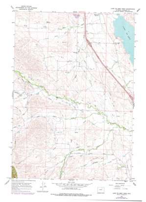
Lake De Smet West Topo Map Wyoming
To zoom in, hover over the map of Lake De Smet West
USGS Topo Quad 44106d7 - 1:24,000 scale
| Topo Map Name: | Lake De Smet West |
| USGS Topo Quad ID: | 44106d7 |
| Print Size: | ca. 21 1/4" wide x 27" high |
| Southeast Coordinates: | 44.375° N latitude / 106.75° W longitude |
| Map Center Coordinates: | 44.4375° N latitude / 106.8125° W longitude |
| U.S. State: | WY |
| Filename: | o44106d7.jpg |
| Download Map JPG Image: | Lake De Smet West topo map 1:24,000 scale |
| Map Type: | Topographic |
| Topo Series: | 7.5´ |
| Map Scale: | 1:24,000 |
| Source of Map Images: | United States Geological Survey (USGS) |
| Alternate Map Versions: |
Lake De Smet West WY 1967, updated 1971 Download PDF Buy paper map Lake De Smet West WY 1967, updated 1978 Download PDF Buy paper map Lake De Smet West WY 1967, updated 1978 Download PDF Buy paper map Lake De Smet West WY 2012 Download PDF Buy paper map Lake De Smet West WY 2015 Download PDF Buy paper map |
1:24,000 Topo Quads surrounding Lake De Smet West
> Back to 44106a1 at 1:100,000 scale
> Back to 44106a1 at 1:250,000 scale
> Back to U.S. Topo Maps home
Lake De Smet West topo map: Gazetteer
Lake De Smet West: Basins
Mowry Basin elevation 1609m 5278′Lake De Smet West: Canals
Barkey Ditch elevation 1497m 4911′Brown and Foster Ditch elevation 1553m 5095′
Fish Lateral elevation 1533m 5029′
Fox Ditch elevation 1532m 5026′
Hallie Ditch elevation 1590m 5216′
Hopkins Ditch elevation 1533m 5029′
Johnson Creek Ditch elevation 1538m 5045′
Kempton Ditch elevation 1592m 5223′
Lake DeSmet Canal elevation 1506m 4940′
Lily Ditch elevation 1526m 5006′
McGrath Ditch elevation 1571m 5154′
Penrose Ditch elevation 1606m 5269′
Pierson Ditch elevation 1542m 5059′
Pride of the Valley Ditch elevation 1509m 4950′
Ritchey Ditch elevation 1457m 4780′
Ruby Ditch elevation 1460m 4790′
Yarwood Ditch elevation 1511m 4957′
Lake De Smet West: Dams
Mowry Dam elevation 1567m 5141′South Sayles Dam elevation 1703m 5587′
Lake De Smet West: Mines
Schmidt Pit Mine elevation 1483m 4865′Shell Creek Mine elevation 1425m 4675′
Lake De Smet West: Parks
Father DeSmet Historical Monument elevation 1445m 4740′Lake De Smet West: Reservoirs
Mowry Reservoir elevation 1567m 5141′Shell Creek Reservoir elevation 1418m 4652′
South Sayles Reservoir elevation 1703m 5587′
Sparks Reservoir elevation 1519m 4983′
Lake De Smet West: Streams
H A Creek elevation 1468m 4816′Johnson Creek elevation 1457m 4780′
Little North Fork elevation 1464m 4803′
McDonald Creek elevation 1577m 5173′
Mowry Creek elevation 1543m 5062′
North Fork Sayles Creek elevation 1659m 5442′
North Fork Shell Creek elevation 1420m 4658′
Red Creek elevation 1578m 5177′
Sayles Creek elevation 1473m 4832′
South Fork Sayles Creek elevation 1659m 5442′
South Fork Shell Creek elevation 1418m 4652′
Spring Creek elevation 1566m 5137′
Spring Creek elevation 1476m 4842′
Lake De Smet West digital topo map on disk
Buy this Lake De Smet West topo map showing relief, roads, GPS coordinates and other geographical features, as a high-resolution digital map file on DVD:
Eastern Wyoming & Western South Dakota
Buy digital topo maps: Eastern Wyoming & Western South Dakota


