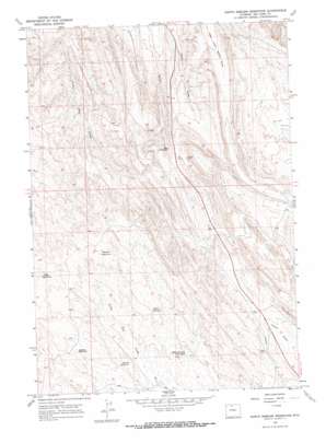
North Emblem Reservoir Topo Map Wyoming
To zoom in, hover over the map of North Emblem Reservoir
USGS Topo Quad 44108f3 - 1:24,000 scale
| Topo Map Name: | North Emblem Reservoir |
| USGS Topo Quad ID: | 44108f3 |
| Print Size: | ca. 21 1/4" wide x 27" high |
| Southeast Coordinates: | 44.625° N latitude / 108.25° W longitude |
| Map Center Coordinates: | 44.6875° N latitude / 108.3125° W longitude |
| U.S. State: | WY |
| Filename: | o44108f3.jpg |
| Download Map JPG Image: | North Emblem Reservoir topo map 1:24,000 scale |
| Map Type: | Topographic |
| Topo Series: | 7.5´ |
| Map Scale: | 1:24,000 |
| Source of Map Images: | United States Geological Survey (USGS) |
| Alternate Map Versions: |
North Emblem Reservoir WY 1966, updated 1969 Download PDF Buy paper map North Emblem Reservoir WY 1966, updated 1969 Download PDF Buy paper map North Emblem Reservoir WY 1966, updated 1970 Download PDF Buy paper map North Emblem Reservoir WY 2012 Download PDF Buy paper map North Emblem Reservoir WY 2015 Download PDF Buy paper map |
1:24,000 Topo Quads surrounding North Emblem Reservoir
> Back to 44108e1 at 1:100,000 scale
> Back to 44108a1 at 1:250,000 scale
> Back to U.S. Topo Maps home
North Emblem Reservoir topo map: Gazetteer
North Emblem Reservoir: Mines
Bighorn Bentonite Company Claims Mine elevation 1431m 4694′Dry Creek Group Number Two Mine elevation 1238m 4061′
Little Sheep Mountain Anticline Number Eleven Mine elevation 1399m 4589′
Little Sheep Mountain Anticline Number Thirteen Mine elevation 1324m 4343′
Northwest of Greybull Mine elevation 1358m 4455′
North Emblem Reservoir: Reservoirs
Caesar Reservoir elevation 1374m 4507′Cleopatra Reservoir elevation 1429m 4688′
Jolley Reservoir elevation 1367m 4484′
Jolly Reservoir elevation 1362m 4468′
Karate Reservoir elevation 1336m 4383′
North Emblem Reservoir elevation 1330m 4363′
Rolston Reservoir elevation 1388m 4553′
North Emblem Reservoir digital topo map on disk
Buy this North Emblem Reservoir topo map showing relief, roads, GPS coordinates and other geographical features, as a high-resolution digital map file on DVD:


