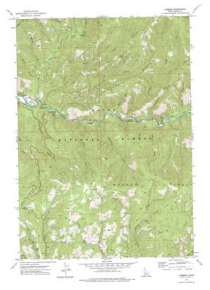
Lowman Topo Map Idaho
To zoom in, hover over the map of Lowman
USGS Topo Quad 44115a5 - 1:24,000 scale
| Topo Map Name: | Lowman |
| USGS Topo Quad ID: | 44115a5 |
| Print Size: | ca. 21 1/4" wide x 27" high |
| Southeast Coordinates: | 44° N latitude / 115.5° W longitude |
| Map Center Coordinates: | 44.0625° N latitude / 115.5625° W longitude |
| U.S. State: | ID |
| Filename: | o44115a5.jpg |
| Download Map JPG Image: | Lowman topo map 1:24,000 scale |
| Map Type: | Topographic |
| Topo Series: | 7.5´ |
| Map Scale: | 1:24,000 |
| Source of Map Images: | United States Geological Survey (USGS) |
| Alternate Map Versions: |
Lowman ID 1972, updated 1977 Download PDF Buy paper map Lowman ID 2011 Download PDF Buy paper map Lowman ID 2013 Download PDF Buy paper map |
| FStopo: | US Forest Service topo Lowman is available: Download FStopo PDF Download FStopo TIF |
1:24,000 Topo Quads surrounding Lowman
> Back to 44115a1 at 1:100,000 scale
> Back to 44114a1 at 1:250,000 scale
> Back to U.S. Topo Maps home
Lowman topo map: Gazetteer
Lowman: Mines
Banner Mine elevation 1865m 6118′Specimen Mine elevation 1665m 5462′
Lowman: Populated Places
Banner elevation 1786m 5859′Lowman elevation 1151m 3776′
Lowman: Ridges
Banner Ridge elevation 2086m 6843′Kirkham Ridge elevation 1738m 5702′
Lowman: Springs
Kirkham Hot Springs elevation 1222m 4009′Lowman: Streams
Archie Creek elevation 1224m 4015′Ash Creek elevation 1323m 4340′
Clear Creek elevation 1159m 3802′
Emma Creek elevation 1218m 3996′
Gotch Creek elevation 1719m 5639′
Graney Creek elevation 1184m 3884′
Green Creek elevation 1215m 3986′
Huckleberry Creek elevation 1190m 3904′
Kirkham Creek elevation 1208m 3963′
Lice Creek elevation 1156m 3792′
Lick Creek elevation 1172m 3845′
Meadow Creek elevation 1233m 4045′
Miller Creek elevation 1160m 3805′
Park Creek elevation 1312m 4304′
Pine Creek elevation 1274m 4179′
Smokey Creek elevation 1164m 3818′
Steep Creek elevation 1185m 3887′
Warm Creek elevation 1204m 3950′
Whangdoodle Creek elevation 1211m 3973′
Lowman: Summits
Beaver Creek Summit elevation 1845m 6053′Lowman: Valleys
Logging Gulch elevation 1247m 4091′Lowman digital topo map on disk
Buy this Lowman topo map showing relief, roads, GPS coordinates and other geographical features, as a high-resolution digital map file on DVD:


