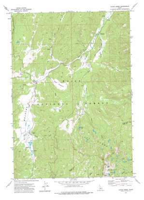
Cache Creek Topo Map Idaho
To zoom in, hover over the map of Cache Creek
USGS Topo Quad 44115c4 - 1:24,000 scale
| Topo Map Name: | Cache Creek |
| USGS Topo Quad ID: | 44115c4 |
| Print Size: | ca. 21 1/4" wide x 27" high |
| Southeast Coordinates: | 44.25° N latitude / 115.375° W longitude |
| Map Center Coordinates: | 44.3125° N latitude / 115.4375° W longitude |
| U.S. State: | ID |
| Filename: | o44115c4.jpg |
| Download Map JPG Image: | Cache Creek topo map 1:24,000 scale |
| Map Type: | Topographic |
| Topo Series: | 7.5´ |
| Map Scale: | 1:24,000 |
| Source of Map Images: | United States Geological Survey (USGS) |
| Alternate Map Versions: |
Cache Creek ID 1972, updated 1976 Download PDF Buy paper map Cache Creek ID 2011 Download PDF Buy paper map Cache Creek ID 2013 Download PDF Buy paper map |
| FStopo: | US Forest Service topo Cache Creek is available: Download FStopo PDF Download FStopo TIF |
1:24,000 Topo Quads surrounding Cache Creek
> Back to 44115a1 at 1:100,000 scale
> Back to 44114a1 at 1:250,000 scale
> Back to U.S. Topo Maps home
Cache Creek topo map: Gazetteer
Cache Creek: Flats
Big Meadows elevation 2023m 6637′Cache Meadows elevation 2005m 6578′
Lost Meadows elevation 2118m 6948′
Mace Meadows elevation 2029m 6656′
Cache Creek: Lakes
Cat Lakes elevation 2415m 7923′Lost Lake elevation 2241m 7352′
Lost Lakes elevation 2332m 7650′
Red Mountain Lakes elevation 2435m 7988′
Cache Creek: Streams
Cache Creek elevation 1995m 6545′Casner Creek elevation 2019m 6624′
Cub Creek elevation 2007m 6584′
Mace Creek elevation 2007m 6584′
Sack Creek elevation 1989m 6525′
Sheep Trail Creek elevation 1999m 6558′
Cache Creek: Summits
Red Mountain elevation 2654m 8707′Cache Creek digital topo map on disk
Buy this Cache Creek topo map showing relief, roads, GPS coordinates and other geographical features, as a high-resolution digital map file on DVD:


