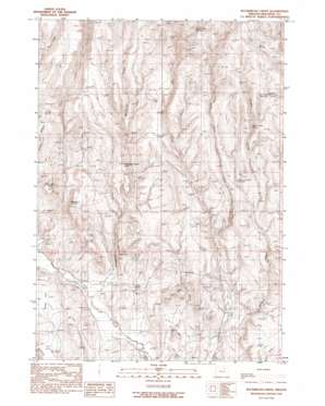
Buckbrush Creek Topo Map Oregon
To zoom in, hover over the map of Buckbrush Creek
USGS Topo Quad 44117a6 - 1:24,000 scale
| Topo Map Name: | Buckbrush Creek |
| USGS Topo Quad ID: | 44117a6 |
| Print Size: | ca. 21 1/4" wide x 27" high |
| Southeast Coordinates: | 44° N latitude / 117.625° W longitude |
| Map Center Coordinates: | 44.0625° N latitude / 117.6875° W longitude |
| U.S. State: | OR |
| Filename: | o44117a6.jpg |
| Download Map JPG Image: | Buckbrush Creek topo map 1:24,000 scale |
| Map Type: | Topographic |
| Topo Series: | 7.5´ |
| Map Scale: | 1:24,000 |
| Source of Map Images: | United States Geological Survey (USGS) |
| Alternate Map Versions: |
Buckbrush Creek OR 1990, updated 1990 Download PDF Buy paper map Buckbrush Creek OR 2011 Download PDF Buy paper map Buckbrush Creek OR 2014 Download PDF Buy paper map |
1:24,000 Topo Quads surrounding Buckbrush Creek
> Back to 44117a1 at 1:100,000 scale
> Back to 44116a1 at 1:250,000 scale
> Back to U.S. Topo Maps home
Buckbrush Creek topo map: Gazetteer
Buckbrush Creek: Flats
Richie Flat elevation 955m 3133′Buckbrush Creek: Reservoirs
N G Creek Reservoir elevation 1430m 4691′Solders Canyon Reservoir elevation 1204m 3950′
Buckbrush Creek: Springs
Bull Spring elevation 1519m 4983′Chalk Spring elevation 1021m 3349′
Mud Spring elevation 973m 3192′
North Salter Spring elevation 1324m 4343′
Skelton Spring elevation 1060m 3477′
Upper Mud Spring elevation 1460m 4790′
Buckbrush Creek: Streams
Buckbrush Creek elevation 925m 3034′East Prong Dry Creek elevation 1045m 3428′
Pancake Creek elevation 910m 2985′
Buckbrush Creek: Summits
Big Poison Butte elevation 1174m 3851′Buckbrush Poison Butte elevation 1216m 3989′
Little Poison Butte elevation 1190m 3904′
Buckbrush Creek: Valleys
Solders Canyon elevation 982m 3221′Buckbrush Creek digital topo map on disk
Buy this Buckbrush Creek topo map showing relief, roads, GPS coordinates and other geographical features, as a high-resolution digital map file on DVD:


