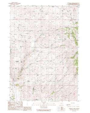
Lawrence Creek Topo Map Oregon
To zoom in, hover over the map of Lawrence Creek
USGS Topo Quad 44117f4 - 1:24,000 scale
| Topo Map Name: | Lawrence Creek |
| USGS Topo Quad ID: | 44117f4 |
| Print Size: | ca. 21 1/4" wide x 27" high |
| Southeast Coordinates: | 44.625° N latitude / 117.375° W longitude |
| Map Center Coordinates: | 44.6875° N latitude / 117.4375° W longitude |
| U.S. State: | OR |
| Filename: | o44117f4.jpg |
| Download Map JPG Image: | Lawrence Creek topo map 1:24,000 scale |
| Map Type: | Topographic |
| Topo Series: | 7.5´ |
| Map Scale: | 1:24,000 |
| Source of Map Images: | United States Geological Survey (USGS) |
| Alternate Map Versions: |
Lawrence Creek OR 1988, updated 1988 Download PDF Buy paper map Lawrence Creek OR 2011 Download PDF Buy paper map Lawrence Creek OR 2014 Download PDF Buy paper map |
1:24,000 Topo Quads surrounding Lawrence Creek
> Back to 44117e1 at 1:100,000 scale
> Back to 44116a1 at 1:250,000 scale
> Back to U.S. Topo Maps home
Lawrence Creek topo map: Gazetteer
Lawrence Creek: Canals
Taylor Ditch elevation 1305m 4281′Lawrence Creek: Post Offices
Cullom Post Office (historical) elevation 892m 2926′Lawrence Creek: Reservoirs
Bedsprings Flat Reservoir elevation 1146m 3759′Schuck Waterhole elevation 1132m 3713′
South Guzzler Waterhole elevation 1145m 3756′
Taylor Reservoir elevation 1275m 4183′
Welch Reservoir elevation 1245m 4084′
Lawrence Creek: Springs
Bedspring Flat Spring (historical) elevation 1147m 3763′Black Springs elevation 1469m 4819′
Devils Spring elevation 1082m 3549′
Hayward Spring elevation 1170m 3838′
Iron Mountain Spring elevation 1023m 3356′
Orman Spring elevation 1045m 3428′
Lawrence Creek: Streams
Ayers Creek elevation 976m 3202′Black Springs Creek elevation 1094m 3589′
Cattrill Creek elevation 995m 3264′
Heater Creek elevation 1735m 5692′
Judd Creek elevation 1109m 3638′
Lawrence Creek elevation 913m 2995′
Lyle Creek elevation 1235m 4051′
Sardine Creek elevation 1033m 3389′
Schlinkman Creek elevation 1108m 3635′
South Fork Lawrence Creek elevation 1389m 4557′
Lawrence Creek: Summits
Iron Mountain elevation 1125m 3690′Lawrence Creek: Valleys
Hickerson Gulch elevation 1086m 3562′Olsen Gulch elevation 1264m 4146′
Lawrence Creek digital topo map on disk
Buy this Lawrence Creek topo map showing relief, roads, GPS coordinates and other geographical features, as a high-resolution digital map file on DVD:


