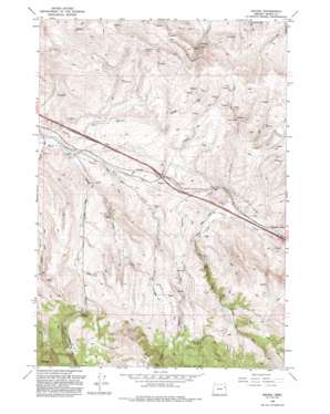
Encina Topo Map Oregon
To zoom in, hover over the map of Encina
USGS Topo Quad 44117f6 - 1:24,000 scale
| Topo Map Name: | Encina |
| USGS Topo Quad ID: | 44117f6 |
| Print Size: | ca. 21 1/4" wide x 27" high |
| Southeast Coordinates: | 44.625° N latitude / 117.625° W longitude |
| Map Center Coordinates: | 44.6875° N latitude / 117.6875° W longitude |
| U.S. State: | OR |
| Filename: | o44117f6.jpg |
| Download Map JPG Image: | Encina topo map 1:24,000 scale |
| Map Type: | Topographic |
| Topo Series: | 7.5´ |
| Map Scale: | 1:24,000 |
| Source of Map Images: | United States Geological Survey (USGS) |
| Alternate Map Versions: |
Encina OR 1967, updated 1971 Download PDF Buy paper map Encina OR 1967, updated 1981 Download PDF Buy paper map Encina OR 1967, updated 1985 Download PDF Buy paper map Encina OR 1993, updated 1993 Download PDF Buy paper map Encina OR 2011 Download PDF Buy paper map Encina OR 2014 Download PDF Buy paper map |
| FStopo: | US Forest Service topo Encina is available: Download FStopo PDF Download FStopo TIF |
1:24,000 Topo Quads surrounding Encina
> Back to 44117e1 at 1:100,000 scale
> Back to 44116a1 at 1:250,000 scale
> Back to U.S. Topo Maps home
Encina topo map: Gazetteer
Encina: Mines
Brazos Mine elevation 1259m 4130′Uncle Dan Mine elevation 1252m 4107′
White Swan Mine elevation 1171m 3841′
Encina: Populated Places
Encina elevation 1208m 3963′Pleasant Valley elevation 1145m 3756′
Encina: Ranges
Virtue Hills elevation 1430m 4691′Encina: Springs
Alder Creek Spring elevation 1435m 4708′Johnston Spring elevation 1174m 3851′
Encina: Streams
Baiseley Creek elevation 1159m 3802′Dogtown Creek elevation 1165m 3822′
Dry Creek elevation 1196m 3923′
Lodge Creek elevation 1160m 3805′
Quartz Creek elevation 1139m 3736′
Encina: Valleys
Dry Gulch elevation 1148m 3766′Encina digital topo map on disk
Buy this Encina topo map showing relief, roads, GPS coordinates and other geographical features, as a high-resolution digital map file on DVD:


