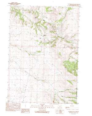
Flowers Gulch Topo Map Oregon
To zoom in, hover over the map of Flowers Gulch
USGS Topo Quad 44119g1 - 1:24,000 scale
| Topo Map Name: | Flowers Gulch |
| USGS Topo Quad ID: | 44119g1 |
| Print Size: | ca. 21 1/4" wide x 27" high |
| Southeast Coordinates: | 44.75° N latitude / 119° W longitude |
| Map Center Coordinates: | 44.8125° N latitude / 119.0625° W longitude |
| U.S. State: | OR |
| Filename: | o44119g1.jpg |
| Download Map JPG Image: | Flowers Gulch topo map 1:24,000 scale |
| Map Type: | Topographic |
| Topo Series: | 7.5´ |
| Map Scale: | 1:24,000 |
| Source of Map Images: | United States Geological Survey (USGS) |
| Alternate Map Versions: |
Flowers Gulch OR 1990, updated 1990 Download PDF Buy paper map Flowers Gulch OR 1999, updated 2002 Download PDF Buy paper map Flowers Gulch OR 2011 Download PDF Buy paper map Flowers Gulch OR 2014 Download PDF Buy paper map |
| FStopo: | US Forest Service topo Flowers Gulch is available: Download FStopo PDF Download FStopo TIF |
1:24,000 Topo Quads surrounding Flowers Gulch
> Back to 44119e1 at 1:100,000 scale
> Back to 44118a1 at 1:250,000 scale
> Back to U.S. Topo Maps home
Flowers Gulch topo map: Gazetteer
Flowers Gulch: Airports
Volny Long Creek Airstrip elevation 1172m 3845′Flowers Gulch: Gaps
Low Gap elevation 1313m 4307′Ritter Butte Summit elevation 1223m 4012′
Flowers Gulch: Populated Places
Caverhill (historical) elevation 1082m 3549′Flowers Gulch: Post Offices
Caverhill Post Office (historical) elevation 1082m 3549′Flowers Gulch: Streams
Elliot Creek elevation 900m 2952′Granite Creek elevation 875m 2870′
Lick Creek elevation 886m 2906′
Middle Fork Pass Creek elevation 1193m 3914′
North Fork Pass Creek elevation 1184m 3884′
Rush Creek elevation 835m 2739′
Willow Creek elevation 889m 2916′
Flowers Gulch: Summits
Ritter Butte elevation 1280m 4199′Sugar Loaf Mountain elevation 1174m 3851′
Flowers Gulch: Valleys
Dale Canyon elevation 1272m 4173′Flowers Gulch elevation 874m 2867′
Hanson Canyon elevation 887m 2910′
Plant Canyon elevation 948m 3110′
Swickey Canyon elevation 1222m 4009′
Troutman Gulch elevation 1342m 4402′
Flowers Gulch digital topo map on disk
Buy this Flowers Gulch topo map showing relief, roads, GPS coordinates and other geographical features, as a high-resolution digital map file on DVD:


