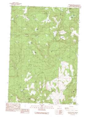
Wheeler Point Topo Map Oregon
To zoom in, hover over the map of Wheeler Point
USGS Topo Quad 44119h8 - 1:24,000 scale
| Topo Map Name: | Wheeler Point |
| USGS Topo Quad ID: | 44119h8 |
| Print Size: | ca. 21 1/4" wide x 27" high |
| Southeast Coordinates: | 44.875° N latitude / 119.875° W longitude |
| Map Center Coordinates: | 44.9375° N latitude / 119.9375° W longitude |
| U.S. State: | OR |
| Filename: | o44119h8.jpg |
| Download Map JPG Image: | Wheeler Point topo map 1:24,000 scale |
| Map Type: | Topographic |
| Topo Series: | 7.5´ |
| Map Scale: | 1:24,000 |
| Source of Map Images: | United States Geological Survey (USGS) |
| Alternate Map Versions: |
Wheeler Point OR 1990, updated 1990 Download PDF Buy paper map Wheeler Point OR 1995, updated 1998 Download PDF Buy paper map Wheeler Point OR 2011 Download PDF Buy paper map Wheeler Point OR 2014 Download PDF Buy paper map |
| FStopo: | US Forest Service topo Wheeler Point is available: Download FStopo PDF Download FStopo TIF |
1:24,000 Topo Quads surrounding Wheeler Point
> Back to 44119e1 at 1:100,000 scale
> Back to 44118a1 at 1:250,000 scale
> Back to U.S. Topo Maps home
Wheeler Point topo map: Gazetteer
Wheeler Point: Areas
Notch Prairie elevation 1390m 4560′Wheeler Point: Basins
Snow Basin elevation 1248m 4094′Wheeler Point: Dams
Clark Lake Dam elevation 949m 3113′Wheeler Point: Flats
Chasteen Meadow elevation 1404m 4606′Dairy Meadow elevation 1268m 4160′
Gutherie Prairie elevation 1294m 4245′
Widow Meadow elevation 1371m 4498′
Wheeler Point: Gaps
The Notch elevation 1440m 4724′Wheeler Point: Lakes
Clark Lake elevation 949m 3113′Hubbel Lake elevation 1061m 3480′
Wineland Lake elevation 1234m 4048′
Wheeler Point: Post Offices
Wetmore Post Office (historical) elevation 1214m 3982′Winlock Post Office (historical) elevation 933m 3061′
Wheeler Point: Reservoirs
Reservoir Number One (historical) elevation 1027m 3369′Reservoir Number Three (historical) elevation 834m 2736′
Reservoir Number Two (historical) elevation 884m 2900′
Wheeler Point: Ridges
Snow Board Ridge elevation 1540m 5052′Wheeler Point: Springs
Howell Spring elevation 989m 3244′Meadow Spring elevation 1394m 4573′
Sigerist Spring elevation 911m 2988′
Wheeler Point: Streams
Camp Creek elevation 817m 2680′Little Lake Creek elevation 1069m 3507′
Wheeler Creek elevation 928m 3044′
Wheeler Point: Summits
Frizzel Mountain elevation 1172m 3845′Indian Mountain elevation 947m 3106′
Table Rock elevation 1036m 3398′
Wheeler Point elevation 1516m 4973′
Wheeler Point digital topo map on disk
Buy this Wheeler Point topo map showing relief, roads, GPS coordinates and other geographical features, as a high-resolution digital map file on DVD:


