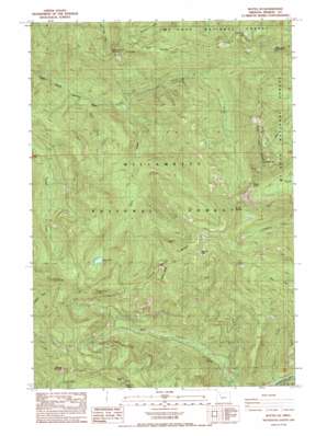
Battle Ax Topo Map Oregon
To zoom in, hover over the map of Battle Ax
USGS Topo Quad 44122g2 - 1:24,000 scale
| Topo Map Name: | Battle Ax |
| USGS Topo Quad ID: | 44122g2 |
| Print Size: | ca. 21 1/4" wide x 27" high |
| Southeast Coordinates: | 44.75° N latitude / 122.125° W longitude |
| Map Center Coordinates: | 44.8125° N latitude / 122.1875° W longitude |
| U.S. State: | OR |
| Filename: | o44122g2.jpg |
| Download Map JPG Image: | Battle Ax topo map 1:24,000 scale |
| Map Type: | Topographic |
| Topo Series: | 7.5´ |
| Map Scale: | 1:24,000 |
| Source of Map Images: | United States Geological Survey (USGS) |
| Alternate Map Versions: |
Battle Ax OR 1985, updated 1985 Download PDF Buy paper map Battle Ax OR 1994, updated 1998 Download PDF Buy paper map Battle Ax OR 2011 Download PDF Buy paper map Battle Ax OR 2014 Download PDF Buy paper map |
| FStopo: | US Forest Service topo Battle Ax is available: Download FStopo PDF Download FStopo TIF |
1:24,000 Topo Quads surrounding Battle Ax
> Back to 44122e1 at 1:100,000 scale
> Back to 44122a1 at 1:250,000 scale
> Back to U.S. Topo Maps home
Battle Ax topo map: Gazetteer
Battle Ax: Arches
Phantom Natural Bridge elevation 1381m 4530′Battle Ax: Gaps
Beachie Saddle elevation 1294m 4245′Knutson Saddle elevation 1332m 4370′
Battle Ax: Lakes
Cedar Lake elevation 1265m 4150′Giebeler Lake elevation 1349m 4425′
Opal Lake elevation 1031m 3382′
Opal Pool elevation 633m 2076′
Silver King Lake elevation 1254m 4114′
Battle Ax: Mines
Amalgamated Mine elevation 733m 2404′Blue Jay Mine elevation 824m 2703′
Battle Ax: Pillars
Dog Tooth Rock elevation 1345m 4412′Needle Rock elevation 1318m 4324′
Battle Ax: Populated Places
Jawbone Flats (historical) elevation 649m 2129′Battle Ax: Ridges
French Creek Ridge elevation 1450m 4757′Battle Ax: Streams
Battle Ax Creek elevation 633m 2076′Beachie Creek elevation 718m 2355′
Blue Jay Creek elevation 750m 2460′
Marten Creek elevation 590m 1935′
Opal Creek elevation 656m 2152′
Stony Creek elevation 609m 1998′
Battle Ax: Summits
Battle Ax elevation 1670m 5479′Boulder Peak elevation 1531m 5022′
Byars Peak elevation 1435m 4708′
Dome Rock elevation 1425m 4675′
Marten Buttes elevation 1518m 4980′
Mount Beachie elevation 1675m 5495′
Sardine Mountain elevation 1476m 4842′
Silver King Mountain elevation 1602m 5255′
Whetstone Mountain elevation 1513m 4963′
Battle Ax: Trails
Beachie Trail elevation 1401m 4596′French Creek Trail elevation 1491m 4891′
Opal Creek Trail elevation 680m 2230′
Rocky Top Trail elevation 1370m 4494′
Battle Ax digital topo map on disk
Buy this Battle Ax topo map showing relief, roads, GPS coordinates and other geographical features, as a high-resolution digital map file on DVD:


