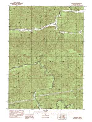
Greenleaf Topo Map Oregon
To zoom in, hover over the map of Greenleaf
USGS Topo Quad 44123a6 - 1:24,000 scale
| Topo Map Name: | Greenleaf |
| USGS Topo Quad ID: | 44123a6 |
| Print Size: | ca. 21 1/4" wide x 27" high |
| Southeast Coordinates: | 44° N latitude / 123.625° W longitude |
| Map Center Coordinates: | 44.0625° N latitude / 123.6875° W longitude |
| U.S. State: | OR |
| Filename: | o44123a6.jpg |
| Download Map JPG Image: | Greenleaf topo map 1:24,000 scale |
| Map Type: | Topographic |
| Topo Series: | 7.5´ |
| Map Scale: | 1:24,000 |
| Source of Map Images: | United States Geological Survey (USGS) |
| Alternate Map Versions: |
Greenleaf OR 1984, updated 1984 Download PDF Buy paper map Greenleaf OR 2011 Download PDF Buy paper map Greenleaf OR 2014 Download PDF Buy paper map |
| FStopo: | US Forest Service topo Greenleaf is available: Download FStopo PDF Download FStopo TIF |
1:24,000 Topo Quads surrounding Greenleaf
> Back to 44123a1 at 1:100,000 scale
> Back to 44122a1 at 1:250,000 scale
> Back to U.S. Topo Maps home
Greenleaf topo map: Gazetteer
Greenleaf: Parks
Austa Landing County Park elevation 89m 291′Camp Lane elevation 84m 275′
Camp Lane County Park elevation 93m 305′
Linslaw County Park elevation 109m 357′
Greenleaf: Populated Places
Greenleaf elevation 108m 354′Linslaw elevation 93m 305′
Greenleaf: Post Offices
Glentena Post Office (historical) elevation 87m 285′Greenleaf Post Office (historical) elevation 108m 354′
Linslaw Post Office (historical) elevation 93m 305′
Meadow Post Office (historical) elevation 111m 364′
Greenleaf: Ridges
Bailey Ridge elevation 310m 1017′Greenleaf: Streams
Almasie Creek elevation 95m 311′Barber Creek elevation 57m 187′
Beecher Creek elevation 63m 206′
Dry Creek elevation 65m 213′
Hollo Creek elevation 84m 275′
Johnston Creek elevation 79m 259′
Leaver Creek elevation 129m 423′
Little Beech Creek elevation 62m 203′
McVey Creek elevation 111m 364′
Meadow Creek elevation 72m 236′
Nelson Creek elevation 103m 337′
Pat Creek elevation 61m 200′
Preston Creek elevation 84m 275′
Rock Creek elevation 78m 255′
San Antone Creek elevation 68m 223′
Schoolhouse Creek elevation 75m 246′
Sharon Creek elevation 65m 213′
Smith Creek elevation 69m 226′
Steinhauer Creek elevation 111m 364′
Turner Creek elevation 78m 255′
Waite Creek elevation 79m 259′
Wheeler Creek elevation 105m 344′
Wilcut Creek elevation 106m 347′
Wildcat Creek elevation 89m 291′
Greenleaf: Summits
Walker Point elevation 714m 2342′Greenleaf digital topo map on disk
Buy this Greenleaf topo map showing relief, roads, GPS coordinates and other geographical features, as a high-resolution digital map file on DVD:


