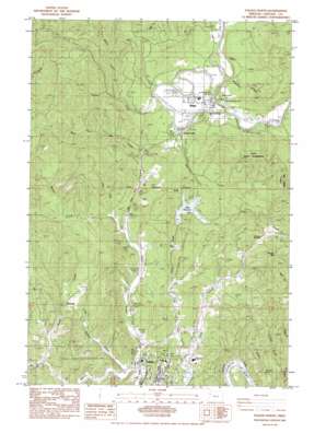
Toledo North Topo Map Oregon
To zoom in, hover over the map of Toledo North
USGS Topo Quad 44123f8 - 1:24,000 scale
| Topo Map Name: | Toledo North |
| USGS Topo Quad ID: | 44123f8 |
| Print Size: | ca. 21 1/4" wide x 27" high |
| Southeast Coordinates: | 44.625° N latitude / 123.875° W longitude |
| Map Center Coordinates: | 44.6875° N latitude / 123.9375° W longitude |
| U.S. State: | OR |
| Filename: | o44123f8.jpg |
| Download Map JPG Image: | Toledo North topo map 1:24,000 scale |
| Map Type: | Topographic |
| Topo Series: | 7.5´ |
| Map Scale: | 1:24,000 |
| Source of Map Images: | United States Geological Survey (USGS) |
| Alternate Map Versions: |
Toledo North OR 1984, updated 1984 Download PDF Buy paper map Toledo North OR 2011 Download PDF Buy paper map Toledo North OR 2014 Download PDF Buy paper map |
1:24,000 Topo Quads surrounding Toledo North
> Back to 44123e1 at 1:100,000 scale
> Back to 44122a1 at 1:250,000 scale
> Back to U.S. Topo Maps home
Toledo North topo map: Gazetteer
Toledo North: Airports
Siletz Airport elevation 22m 72′Toledo North: Bridges
Fuller Bridge elevation 24m 78′Toledo North: Dams
Ollala Dam elevation 61m 200′Toledo North: Gaps
Pioneer Summit elevation 106m 347′Toledo North: Parks
Hee Hee Illahee Park elevation 32m 104′Olalla Reservoir City Park elevation 76m 249′
Old Mill Site Park elevation 39m 127′
Toledo North: Populated Places
Bellamy (historical) elevation 34m 111′Fruitvale elevation 71m 232′
Siletz elevation 43m 141′
Toledo North: Post Offices
Bellamy Post Office (historical) elevation 34m 111′Siletz Post Office elevation 43m 141′
Toledo North: Reservoirs
Mills Riffle Reservoir elevation 44m 144′Olalla Reservoir elevation 54m 177′
Ollala Lake elevation 61m 200′
Siletz Reservoir elevation 99m 324′
Toledo North: Streams
Beaver Creek elevation 4m 13′Carlisle Creek elevation 6m 19′
Cattail Slough elevation 4m 13′
Depot Creek elevation 4m 13′
Dewey Creek elevation 42m 137′
Drake Creek elevation 7m 22′
Jack Creek elevation 8m 26′
Little Beaver Creek elevation 4m 13′
Little Depot Creek elevation 6m 19′
Mill Creek elevation 56m 183′
Miller Creek elevation 59m 193′
Olalla Creek elevation 6m 19′
Spencer Creek elevation 24m 78′
Tangerman Creek elevation 33m 108′
Wessel Creek elevation 8m 26′
West Fork Mill Creek elevation 52m 170′
West Olalla Creek elevation 4m 13′
Toledo North: Summits
Government Hill elevation 83m 272′Pioneer Mountain elevation 242m 793′
Toledo North digital topo map on disk
Buy this Toledo North topo map showing relief, roads, GPS coordinates and other geographical features, as a high-resolution digital map file on DVD:


