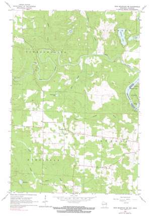
Iron Mountain Sw Topo Map Wisconsin
To zoom in, hover over the map of Iron Mountain Sw
USGS Topo Quad 45088g2 - 1:24,000 scale
| Topo Map Name: | Iron Mountain Sw |
| USGS Topo Quad ID: | 45088g2 |
| Print Size: | ca. 21 1/4" wide x 27" high |
| Southeast Coordinates: | 45.75° N latitude / 88.125° W longitude |
| Map Center Coordinates: | 45.8125° N latitude / 88.1875° W longitude |
| U.S. States: | WI, MI |
| Filename: | o45088g2.jpg |
| Download Map JPG Image: | Iron Mountain Sw topo map 1:24,000 scale |
| Map Type: | Topographic |
| Topo Series: | 7.5´ |
| Map Scale: | 1:24,000 |
| Source of Map Images: | United States Geological Survey (USGS) |
| Alternate Map Versions: |
Iron Mountain SW WI 1962, updated 1964 Download PDF Buy paper map Iron Mountain SW WI 1962, updated 1990 Download PDF Buy paper map Iron Mountain SW WI 2011 Download PDF Buy paper map Iron Mountain SW WI 2013 Download PDF Buy paper map Iron Mountain SW WI 2015 Download PDF Buy paper map |
1:24,000 Topo Quads surrounding Iron Mountain Sw
> Back to 45088e1 at 1:100,000 scale
> Back to 45088a1 at 1:250,000 scale
> Back to U.S. Topo Maps home
Iron Mountain Sw topo map: Gazetteer
Iron Mountain Sw: Dams
Henry Ford Dam elevation 320m 1049′Henry Ford Dam elevation 320m 1049′
Lindow G7265 Dam elevation 367m 1204′
Iron Mountain Sw: Lakes
Ellwood Lake elevation 343m 1125′Frog Lake elevation 344m 1128′
Hauserman Lake elevation 370m 1213′
Hord Lake elevation 375m 1230′
Sand Lake elevation 338m 1108′
Spring Lake elevation 351m 1151′
Iron Mountain Sw: Parks
Spread Eagle Barrens State Natural Area elevation 342m 1122′Iron Mountain Sw: Reservoirs
0.82 Reservoir elevation 367m 1204′Iron Mountain Sw: Streams
Johnson Creek elevation 328m 1076′Lepage Creek elevation 327m 1072′
Pine Creek elevation 327m 1072′
South Branch Little Popple River elevation 365m 1197′
Iron Mountain Sw digital topo map on disk
Buy this Iron Mountain Sw topo map showing relief, roads, GPS coordinates and other geographical features, as a high-resolution digital map file on DVD:


