Spirit Falls Topo Map Wisconsin
To zoom in, hover over the map of Spirit Falls
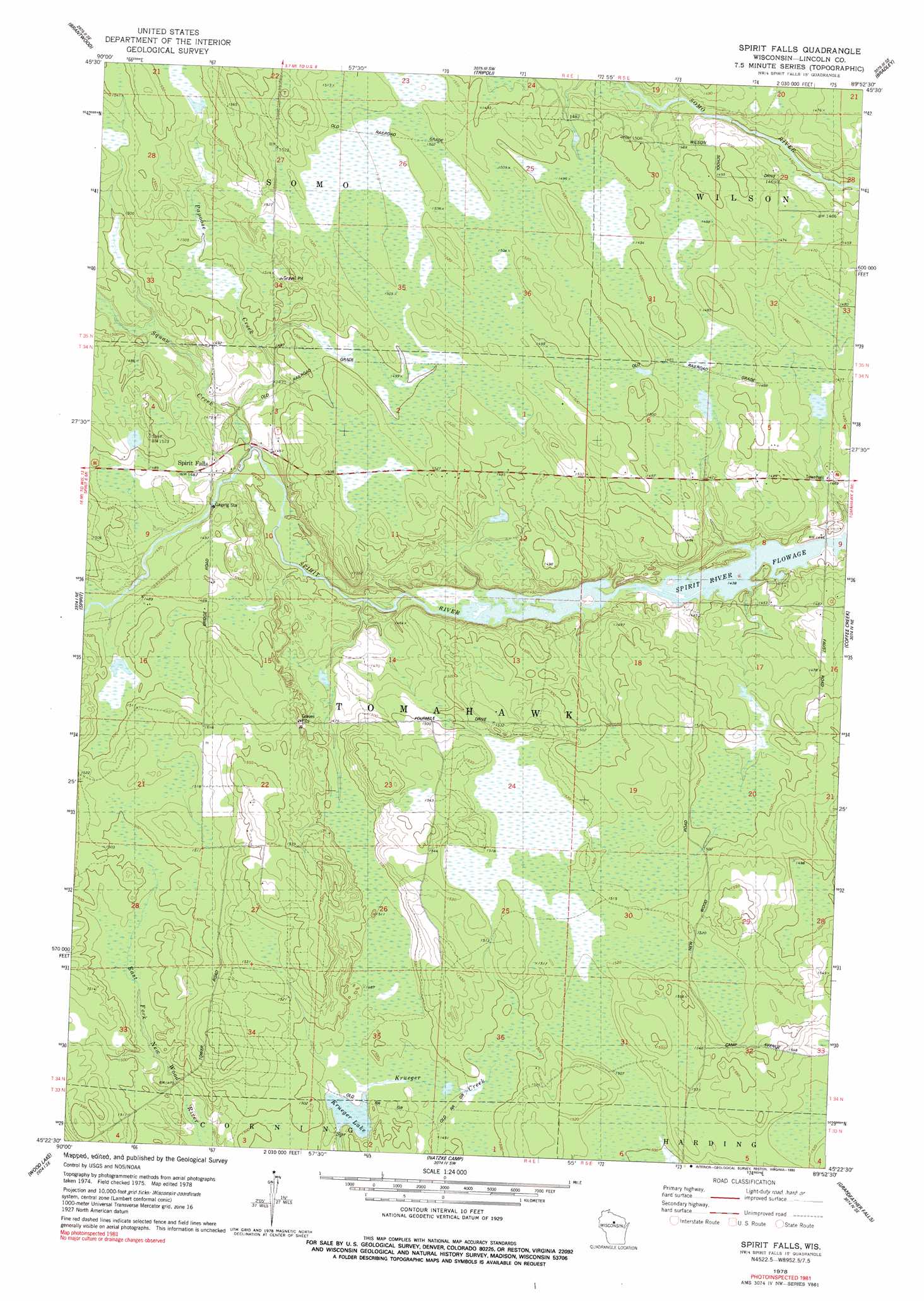
USGS Topo Quad 45089d8 - 1:24,000 scale
| Topo Map Name: | Spirit Falls |
| USGS Topo Quad ID: | 45089d8 |
| Print Size: | ca. 21 1/4" wide x 27" high |
| Southeast Coordinates: | 45.375° N latitude / 89.875° W longitude |
| Map Center Coordinates: | 45.4375° N latitude / 89.9375° W longitude |
| U.S. State: | WI |
| Filename: | o45089d8.jpg |
| Download Map JPG Image: | Spirit Falls topo map 1:24,000 scale |
| Map Type: | Topographic |
| Topo Series: | 7.5´ |
| Map Scale: | 1:24,000 |
| Source of Map Images: | United States Geological Survey (USGS) |
| Alternate Map Versions: |
Spirit Falls WI 1978, updated 1979 Download PDF Buy paper map Spirit Falls WI 1978, updated 1990 Download PDF Buy paper map Spirit Falls WI 2010 Download PDF Buy paper map Spirit Falls WI 2013 Download PDF Buy paper map Spirit Falls WI 2015 Download PDF Buy paper map |
1:24,000 Topo Quads surrounding Spirit Falls
Dover |
Thunder Creek |
Pier Lake |
Burrows Lake |
Harshaw |
Big Briens Lake |
Brantwood |
Tripoli |
Bradley |
Heafford Junction |
Timms Hill |
Spirit |
Spirit Falls |
Coffee Creek |
Tomahawk |
Rib Lake |
Wood Lake |
Natzke Camp |
Grandfather Falls |
Irma |
Rib River Lookout Tower |
Goodrich |
Fromm Lookout Tower |
Alexander Lake |
Merrill |
> Back to 45089a1 at 1:100,000 scale
> Back to 45088a1 at 1:250,000 scale
> Back to U.S. Topo Maps home
Spirit Falls topo map: Gazetteer
Spirit Falls: Lakes
Krueger Lake elevation 451m 1479′Spirit Falls: Populated Places
Spirit Falls elevation 452m 1482′Spirit Falls: Streams
Papoose Creek elevation 442m 1450′Squaw Creek elevation 442m 1450′
Spirit Falls digital topo map on disk
Buy this Spirit Falls topo map showing relief, roads, GPS coordinates and other geographical features, as a high-resolution digital map file on DVD: