Hecla Ne Topo Map South Dakota
To zoom in, hover over the map of Hecla Ne
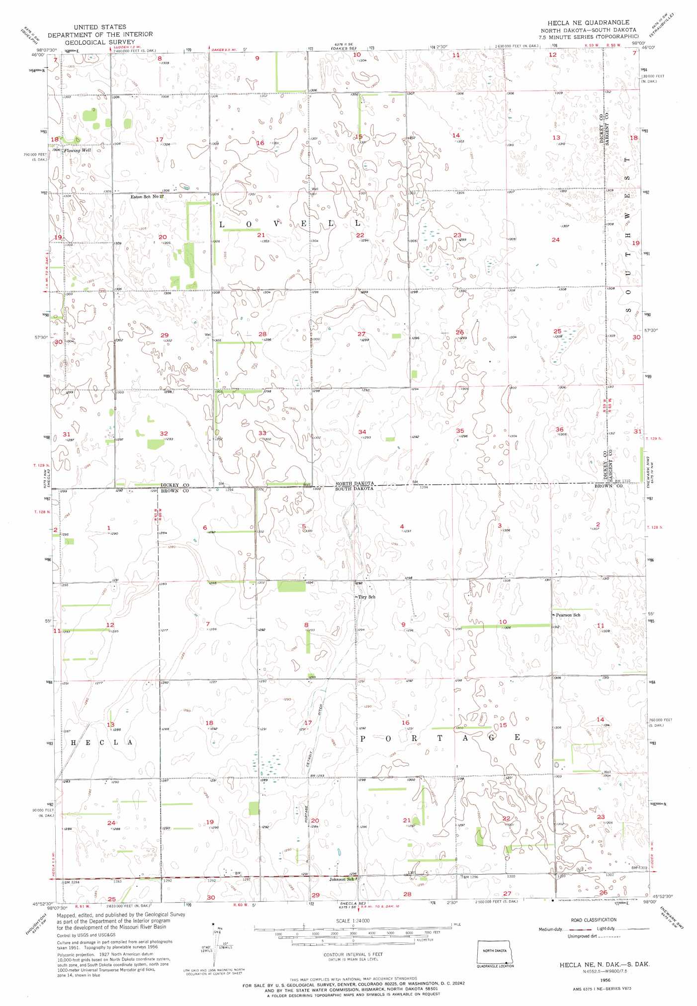
USGS Topo Quad 45098h1 - 1:24,000 scale
| Topo Map Name: | Hecla Ne |
| USGS Topo Quad ID: | 45098h1 |
| Print Size: | ca. 21 1/4" wide x 27" high |
| Southeast Coordinates: | 45.875° N latitude / 98° W longitude |
| Map Center Coordinates: | 45.9375° N latitude / 98.0625° W longitude |
| U.S. States: | SD, ND |
| Filename: | o45098h1.jpg |
| Download Map JPG Image: | Hecla Ne topo map 1:24,000 scale |
| Map Type: | Topographic |
| Topo Series: | 7.5´ |
| Map Scale: | 1:24,000 |
| Source of Map Images: | United States Geological Survey (USGS) |
| Alternate Map Versions: |
Hecla NE ND 1956, updated 1957 Download PDF Buy paper map Hecla NE ND 1956, updated 1974 Download PDF Buy paper map Hecla NE ND 2011 Download PDF Buy paper map Hecla NE ND 2014 Download PDF Buy paper map |
1:24,000 Topo Quads surrounding Hecla Ne
Fullerton Ne |
Glover |
Oakes |
Crete |
Stirum |
Fullerton Se |
Guelph |
Oakes Se |
Straubville |
Cogswell |
Savo Ne |
Hecla |
Hecla Ne |
Newark Nw |
Newark |
Savo Se |
Houghton |
Hecla Se |
Newark Sw |
Britton West |
Columbia Ne |
Daly Corners |
Claremont |
Amherst |
Spain |
> Back to 45098e1 at 1:100,000 scale
> Back to 45098a1 at 1:250,000 scale
> Back to U.S. Topo Maps home
Hecla Ne digital topo map on disk
Buy this Hecla Ne topo map showing relief, roads, GPS coordinates and other geographical features, as a high-resolution digital map file on DVD:
Eastern North Dakota & Eastern South Dakota
Buy digital topo maps: Eastern North Dakota & Eastern South Dakota