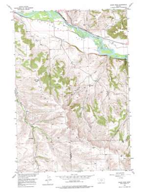
Shane Ridge Topo Map Montana
To zoom in, hover over the map of Shane Ridge
USGS Topo Quad 45109e2 - 1:24,000 scale
| Topo Map Name: | Shane Ridge |
| USGS Topo Quad ID: | 45109e2 |
| Print Size: | ca. 21 1/4" wide x 27" high |
| Southeast Coordinates: | 45.5° N latitude / 109.125° W longitude |
| Map Center Coordinates: | 45.5625° N latitude / 109.1875° W longitude |
| U.S. State: | MT |
| Filename: | o45109e2.jpg |
| Download Map JPG Image: | Shane Ridge topo map 1:24,000 scale |
| Map Type: | Topographic |
| Topo Series: | 7.5´ |
| Map Scale: | 1:24,000 |
| Source of Map Images: | United States Geological Survey (USGS) |
| Alternate Map Versions: |
Shane Ridge MT 1956, updated 1957 Download PDF Buy paper map Shane Ridge MT 1956, updated 1974 Download PDF Buy paper map Shane Ridge MT 2011 Download PDF Buy paper map Shane Ridge MT 2014 Download PDF Buy paper map |
1:24,000 Topo Quads surrounding Shane Ridge
> Back to 45109e1 at 1:100,000 scale
> Back to 45108a1 at 1:250,000 scale
> Back to U.S. Topo Maps home
Shane Ridge topo map: Gazetteer
Shane Ridge: Cliffs
Countrymans Bluff elevation 1119m 3671′Shane Ridge: Flats
Flaherty Flat elevation 1082m 3549′Shane Ridge: Ridges
Shane Ridge elevation 1449m 4753′Shane Ridge: Streams
Bearpaw Creek elevation 1080m 3543′Brown Creek elevation 1079m 3540′
Coal Mine Coulee elevation 1091m 3579′
East Fork Shane Creek elevation 1262m 4140′
Hensley Creek elevation 1073m 3520′
Tutt Creek elevation 1067m 3500′
West Fork Shane Creek elevation 1262m 4140′
Shane Ridge: Summits
Wash Bowl Butte elevation 1362m 4468′Shane Ridge: Valleys
Hayrack Gulch elevation 1067m 3500′Shane Ridge: Wells
03S20E01BCAD01 Well elevation 1088m 3569′03S20E27ABDD01 Well elevation 1250m 4101′
03S21E31CDDD01 Well elevation 1421m 4662′
Shane Ridge digital topo map on disk
Buy this Shane Ridge topo map showing relief, roads, GPS coordinates and other geographical features, as a high-resolution digital map file on DVD:


