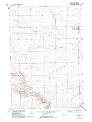
Rapelje Topo Map Montana
To zoom in, hover over the map of Rapelje
USGS Topo Quad 45109h3 - 1:24,000 scale
| Topo Map Name: | Rapelje |
| USGS Topo Quad ID: | 45109h3 |
| Print Size: | ca. 21 1/4" wide x 27" high |
| Southeast Coordinates: | 45.875° N latitude / 109.25° W longitude |
| Map Center Coordinates: | 45.9375° N latitude / 109.3125° W longitude |
| U.S. State: | MT |
| Filename: | o45109h3.jpg |
| Download Map JPG Image: | Rapelje topo map 1:24,000 scale |
| Map Type: | Topographic |
| Topo Series: | 7.5´ |
| Map Scale: | 1:24,000 |
| Source of Map Images: | United States Geological Survey (USGS) |
| Alternate Map Versions: |
Rapelje MT 1956, updated 1957 Download PDF Buy paper map Rapelje MT 1956, updated 1993 Download PDF Buy paper map Rapelje MT 2011 Download PDF Buy paper map Rapelje MT 2014 Download PDF Buy paper map |
1:24,000 Topo Quads surrounding Rapelje
> Back to 45109e1 at 1:100,000 scale
> Back to 45108a1 at 1:250,000 scale
> Back to U.S. Topo Maps home
Rapelje topo map: Gazetteer
Rapelje: Populated Places
Busteed elevation 1271m 4169′Rapelje elevation 1239m 4064′
Rapelje: Post Offices
Busteed Post Office (historical) elevation 1271m 4169′Rapelje Post Office elevation 1239m 4064′
Rapelje: Streams
Cummin Creek elevation 1272m 4173′Whitney Creek elevation 1264m 4146′
Rapelje: Summits
Hugh Henry Hill elevation 1333m 4373′Jones Hill elevation 1334m 4376′
Love Hill elevation 1312m 4304′
Rapelje: Valleys
Gurney Gulch elevation 1303m 4274′Rapelje: Wells
02N20E08DAAA01 Well elevation 1228m 4028′02N20E16BBBB01 Well elevation 1226m 4022′
02N20E29BB__01 Well elevation 1244m 4081′
03N19E35CAAB01 Well elevation 1261m 4137′
03N20E32AADC01 Well elevation 1239m 4064′
Federal Well elevation 1226m 4022′
Rapelje digital topo map on disk
Buy this Rapelje topo map showing relief, roads, GPS coordinates and other geographical features, as a high-resolution digital map file on DVD:


