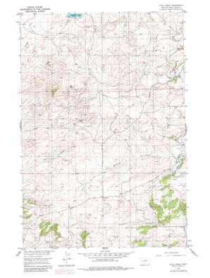
Ryan Creek Topo Map Montana
To zoom in, hover over the map of Ryan Creek
USGS Topo Quad 45109h7 - 1:24,000 scale
| Topo Map Name: | Ryan Creek |
| USGS Topo Quad ID: | 45109h7 |
| Print Size: | ca. 21 1/4" wide x 27" high |
| Southeast Coordinates: | 45.875° N latitude / 109.75° W longitude |
| Map Center Coordinates: | 45.9375° N latitude / 109.8125° W longitude |
| U.S. State: | MT |
| Filename: | o45109h7.jpg |
| Download Map JPG Image: | Ryan Creek topo map 1:24,000 scale |
| Map Type: | Topographic |
| Topo Series: | 7.5´ |
| Map Scale: | 1:24,000 |
| Source of Map Images: | United States Geological Survey (USGS) |
| Alternate Map Versions: |
Ryan Creek MT 1954, updated 1957 Download PDF Buy paper map Ryan Creek MT 1954, updated 1981 Download PDF Buy paper map Ryan Creek MT 2011 Download PDF Buy paper map Ryan Creek MT 2014 Download PDF Buy paper map |
1:24,000 Topo Quads surrounding Ryan Creek
> Back to 45109e1 at 1:100,000 scale
> Back to 45108a1 at 1:250,000 scale
> Back to U.S. Topo Maps home
Ryan Creek topo map: Gazetteer
Ryan Creek: Dams
Holzhey Dam elevation 1331m 4366′Walvoord Lake Dam elevation 1420m 4658′
Ryan Creek: Lakes
Lower Glaston Lake elevation 1420m 4658′Ryan Creek: Populated Places
Sourdough elevation 1421m 4662′Ryan Creek: Reservoirs
First Creek Reservoir elevation 1331m 4366′Glass Lindsay Lakes Lower Reservoir elevation 1420m 4658′
Ryan Creek: Streams
Carson Creek elevation 1373m 4504′Hamilton Creek elevation 1305m 4281′
Ryan Creek elevation 1363m 4471′
Sourdough Creek elevation 1351m 4432′
Ryan Creek: Valleys
Gunnerson Draw elevation 1257m 4124′Ryan Creek: Wells
02N15E23A___01 Well elevation 1396m 4580′02N15E23BACC01 Well elevation 1396m 4580′
02N15E27____01 Well elevation 1459m 4786′
03N15E21____01 Well elevation 1375m 4511′
03N15E27DBBD01 Well elevation 1456m 4776′
Ryan Creek digital topo map on disk
Buy this Ryan Creek topo map showing relief, roads, GPS coordinates and other geographical features, as a high-resolution digital map file on DVD:


