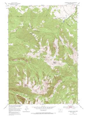
Livingston Peak Topo Map Montana
To zoom in, hover over the map of Livingston Peak
USGS Topo Quad 45110e4 - 1:24,000 scale
| Topo Map Name: | Livingston Peak |
| USGS Topo Quad ID: | 45110e4 |
| Print Size: | ca. 21 1/4" wide x 27" high |
| Southeast Coordinates: | 45.5° N latitude / 110.375° W longitude |
| Map Center Coordinates: | 45.5625° N latitude / 110.4375° W longitude |
| U.S. State: | MT |
| Filename: | o45110e4.jpg |
| Download Map JPG Image: | Livingston Peak topo map 1:24,000 scale |
| Map Type: | Topographic |
| Topo Series: | 7.5´ |
| Map Scale: | 1:24,000 |
| Source of Map Images: | United States Geological Survey (USGS) |
| Alternate Map Versions: |
Livingston Peak MT 1951, updated 1963 Download PDF Buy paper map Livingston Peak MT 1951, updated 1965 Download PDF Buy paper map Livingston Peak MT 1951, updated 1965 Download PDF Buy paper map Livingston Peak MT 2000, updated 2005 Download PDF Buy paper map Livingston Peak MT 2011 Download PDF Buy paper map Livingston Peak MT 2014 Download PDF Buy paper map |
| FStopo: | US Forest Service topo Livingston Peak is available: Download FStopo PDF Download FStopo TIF |
1:24,000 Topo Quads surrounding Livingston Peak
> Back to 45110e1 at 1:100,000 scale
> Back to 45110a1 at 1:250,000 scale
> Back to U.S. Topo Maps home
Livingston Peak topo map: Gazetteer
Livingston Peak: Basins
East Baldy Basin elevation 2297m 7536′West Baldy Basin elevation 2336m 7664′
Livingston Peak: Lakes
Blacktail Lake elevation 2653m 8704′Livingston Peak: Ridges
Shell Mountain elevation 2825m 9268′Livingston Peak: Streams
Blacktail Creek elevation 1997m 6551′Little Mission Creek elevation 1588m 5209′
Lost Creek elevation 1702m 5583′
Mill Fork Creek elevation 1683m 5521′
Tie Creek elevation 1684m 5524′
Livingston Peak: Summits
Elephanthead Mountain elevation 2872m 9422′Livingston Peak elevation 2833m 9294′
Mount Delano elevation 3085m 10121′
Livingston Peak: Valleys
Bear Draw elevation 1731m 5679′Little Bear Draw elevation 1722m 5649′
Rough Draw elevation 1842m 6043′
Livingston Peak digital topo map on disk
Buy this Livingston Peak topo map showing relief, roads, GPS coordinates and other geographical features, as a high-resolution digital map file on DVD:


