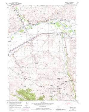
Mission Topo Map Montana
To zoom in, hover over the map of Mission
USGS Topo Quad 45110f4 - 1:24,000 scale
| Topo Map Name: | Mission |
| USGS Topo Quad ID: | 45110f4 |
| Print Size: | ca. 21 1/4" wide x 27" high |
| Southeast Coordinates: | 45.625° N latitude / 110.375° W longitude |
| Map Center Coordinates: | 45.6875° N latitude / 110.4375° W longitude |
| U.S. State: | MT |
| Filename: | o45110f4.jpg |
| Download Map JPG Image: | Mission topo map 1:24,000 scale |
| Map Type: | Topographic |
| Topo Series: | 7.5´ |
| Map Scale: | 1:24,000 |
| Source of Map Images: | United States Geological Survey (USGS) |
| Alternate Map Versions: |
Mission MT 1952, updated 1953 Download PDF Buy paper map Mission MT 1952, updated 1966 Download PDF Buy paper map Mission MT 1952, updated 1981 Download PDF Buy paper map Mission MT 2011 Download PDF Buy paper map Mission MT 2014 Download PDF Buy paper map |
| FStopo: | US Forest Service topo Mission is available: Download FStopo PDF Download FStopo TIF |
1:24,000 Topo Quads surrounding Mission
> Back to 45110e1 at 1:100,000 scale
> Back to 45110a1 at 1:250,000 scale
> Back to U.S. Topo Maps home
Mission topo map: Gazetteer
Mission: Airports
Mission Field elevation 1419m 4655′Mission: Canals
Balmer Ditch elevation 1359m 4458′Hodges Ditch elevation 1429m 4688′
Middle Windsor Ditch elevation 1331m 4366′
Vallis Ditch elevation 1353m 4438′
Mission: Crossings
Interchange 340 elevation 1350m 4429′Interchange 343 elevation 1331m 4366′
Mission: Populated Places
Dahl Place elevation 1671m 5482′Minnie Rahn Place elevation 1680m 5511′
Shaw Place elevation 1522m 4993′
Urback Place elevation 1447m 4747′
Mission: Post Offices
Mission Post Office (historical) elevation 1348m 4422′Shields River Post Office (historical) elevation 1337m 4386′
Mission: Streams
Beaver Creek elevation 1465m 4806′Chicken Creek elevation 1354m 4442′
Mission Creek elevation 1322m 4337′
Poison Creek elevation 1354m 4442′
Shields River elevation 1336m 4383′
Spring Creek elevation 1443m 4734′
Mission: Wells
01S10E22C___01 Well elevation 1381m 4530′01S10E23C___01 Well elevation 1427m 4681′
01S10E24A___01 Well elevation 1441m 4727′
Mission digital topo map on disk
Buy this Mission topo map showing relief, roads, GPS coordinates and other geographical features, as a high-resolution digital map file on DVD:


