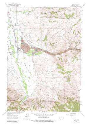
Alder Topo Map Montana
To zoom in, hover over the map of Alder
USGS Topo Quad 45112c1 - 1:24,000 scale
| Topo Map Name: | Alder |
| USGS Topo Quad ID: | 45112c1 |
| Print Size: | ca. 21 1/4" wide x 27" high |
| Southeast Coordinates: | 45.25° N latitude / 112° W longitude |
| Map Center Coordinates: | 45.3125° N latitude / 112.0625° W longitude |
| U.S. State: | MT |
| Filename: | o45112c1.jpg |
| Download Map JPG Image: | Alder topo map 1:24,000 scale |
| Map Type: | Topographic |
| Topo Series: | 7.5´ |
| Map Scale: | 1:24,000 |
| Source of Map Images: | United States Geological Survey (USGS) |
| Alternate Map Versions: |
Alder MT 1963, updated 1965 Download PDF Buy paper map Alder MT 1963, updated 1972 Download PDF Buy paper map Alder MT 1963, updated 1986 Download PDF Buy paper map Alder MT 2011 Download PDF Buy paper map Alder MT 2014 Download PDF Buy paper map |
1:24,000 Topo Quads surrounding Alder
> Back to 45112a1 at 1:100,000 scale
> Back to 45112a1 at 1:250,000 scale
> Back to U.S. Topo Maps home
Alder topo map: Gazetteer
Alder: Canals
Bob Peters Ditch elevation 1586m 5203′Combs Ditch Number Two elevation 1568m 5144′
McFadden Ditch elevation 1553m 5095′
Moran Paige Ditch elevation 1559m 5114′
Passamari Ditch elevation 1593m 5226′
Phillips Ditch elevation 1575m 5167′
Putnam Ditch elevation 1566m 5137′
Ruby Canyon Ditch elevation 1600m 5249′
Stanley Ditch elevation 1590m 5216′
Williams Ditch elevation 1599m 5246′
Alder: Mines
Charlie Ray Mine elevation 1892m 6207′Cook Mine elevation 1830m 6003′
Cook Mine elevation 1801m 5908′
Geel Mine elevation 1786m 5859′
Golden Overlook Mine elevation 1872m 6141′
NE NE Section 32 Mine elevation 1678m 5505′
NE Section 31 Mine elevation 1944m 6377′
NE SW Section 1/Cal Creek Mine elevation 1744m 5721′
Saint Lawrence Mine elevation 1932m 6338′
Saint Lawrence Mine elevation 2005m 6578′
SE Section 1/Cal Creek Mine elevation 1740m 5708′
Silver Bell Mine elevation 1989m 6525′
Silver Bell Mine elevation 1960m 6430′
SW Section 31 Mine elevation 1827m 5994′
Alder: Parks
Ruby Valley Historical Marker elevation 1575m 5167′Alder: Populated Places
Alder elevation 1561m 5121′Laurin elevation 1544m 5065′
Ruby elevation 1578m 5177′
Alder: Post Offices
Alder Post Office elevation 1561m 5121′Laurin Post Office (historical) elevation 1544m 5065′
Ruby Post Office (historical) elevation 1578m 5177′
Alder: Springs
Baker Spring elevation 1670m 5479′Alder: Streams
Dryden Creek elevation 1609m 5278′Granite Creek elevation 1643m 5390′
Harris Creek elevation 1606m 5269′
Hinch Creek elevation 1598m 5242′
Quaking Aspen Creek elevation 1560m 5118′
Williams Creek elevation 1599m 5246′
Alder: Valleys
Alder Gulch elevation 1580m 5183′Australia Gulch elevation 1612m 5288′
Beatch Canyon elevation 1613m 5291′
Dry Hollow elevation 1614m 5295′
Dry Hollow elevation 1611m 5285′
McNeal Gulch elevation 1647m 5403′
Water Gulch elevation 1636m 5367′
Wilcox Canyon elevation 1613m 5291′
Alder: Wells
05S04W28DDBB01 Well elevation 1577m 5173′06S04W05AACB01 Well elevation 1547m 5075′
06S04W10CDCC01 Well elevation 1580m 5183′
06S04W15CDDC01 Well elevation 1585m 5200′
06S04W28ADDD01 Well elevation 1590m 5216′
06S04W28BDAA01 Well elevation 1589m 5213′
Alder digital topo map on disk
Buy this Alder topo map showing relief, roads, GPS coordinates and other geographical features, as a high-resolution digital map file on DVD:


