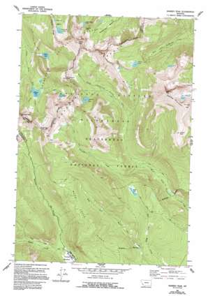
Warren Peak Topo Map Montana
To zoom in, hover over the map of Warren Peak
USGS Topo Quad 45113h4 - 1:24,000 scale
| Topo Map Name: | Warren Peak |
| USGS Topo Quad ID: | 45113h4 |
| Print Size: | ca. 21 1/4" wide x 27" high |
| Southeast Coordinates: | 45.875° N latitude / 113.375° W longitude |
| Map Center Coordinates: | 45.9375° N latitude / 113.4375° W longitude |
| U.S. State: | MT |
| Filename: | o45113h4.jpg |
| Download Map JPG Image: | Warren Peak topo map 1:24,000 scale |
| Map Type: | Topographic |
| Topo Series: | 7.5´ |
| Map Scale: | 1:24,000 |
| Source of Map Images: | United States Geological Survey (USGS) |
| Alternate Map Versions: |
Warren Peak MT 1962, updated 1964 Download PDF Buy paper map Warren Peak MT 1962, updated 1970 Download PDF Buy paper map Warren Peak MT 1962, updated 1993 Download PDF Buy paper map Warren Peak MT 1962, updated 1994 Download PDF Buy paper map Warren Peak MT 1997, updated 2002 Download PDF Buy paper map Warren Peak MT 2011 Download PDF Buy paper map Warren Peak MT 2014 Download PDF Buy paper map |
| FStopo: | US Forest Service topo Warren Peak is available: Download FStopo PDF Download FStopo TIF |
1:24,000 Topo Quads surrounding Warren Peak
> Back to 45113e1 at 1:100,000 scale
> Back to 45112a1 at 1:250,000 scale
> Back to U.S. Topo Maps home
Warren Peak topo map: Gazetteer
Warren Peak: Basins
Glover Basin elevation 2508m 8228′Warren Peak: Gaps
Pintler Pass elevation 2663m 8736′Warren Pass elevation 2629m 8625′
Warren Peak: Lakes
Edith Lake elevation 2395m 7857′Johnson Lake elevation 2331m 7647′
Lost Lakes elevation 2916m 9566′
Martin Lake elevation 2537m 8323′
Mudd Lake elevation 2329m 7641′
Rainbow Lake elevation 2505m 8218′
Tamarack Lake elevation 2531m 8303′
Upper Carpp Lake elevation 2542m 8339′
Warren Lake elevation 2581m 8467′
Warren Peak: Mines
Last Chance Number Two Mine elevation 2533m 8310′SE Section 17 Mine elevation 2545m 8349′
Warren Peak: Ranges
Anaconda Range elevation 3108m 10196′Warren Peak: Ridges
Mudd Creek Ridge elevation 2466m 8090′Warren Peak: Streams
Beaver Creek elevation 1963m 6440′Palisade Creek elevation 2089m 6853′
Warren Peak: Summits
East Goat Peak elevation 3167m 10390′McGlaughlin Peak elevation 2889m 9478′
Nipple Peak elevation 2945m 9662′
Saddle Mountain elevation 3108m 10196′
Warren Peak elevation 3172m 10406′
West Goat Peak elevation 3287m 10784′
Warren Peak digital topo map on disk
Buy this Warren Peak topo map showing relief, roads, GPS coordinates and other geographical features, as a high-resolution digital map file on DVD:


