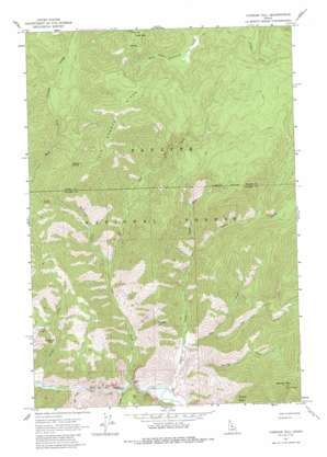
Vinegar Hill Topo Map Idaho
To zoom in, hover over the map of Vinegar Hill
USGS Topo Quad 45114b8 - 1:24,000 scale
| Topo Map Name: | Vinegar Hill |
| USGS Topo Quad ID: | 45114b8 |
| Print Size: | ca. 21 1/4" wide x 27" high |
| Southeast Coordinates: | 45.125° N latitude / 114.875° W longitude |
| Map Center Coordinates: | 45.1875° N latitude / 114.9375° W longitude |
| U.S. State: | ID |
| Filename: | o45114b8.jpg |
| Download Map JPG Image: | Vinegar Hill topo map 1:24,000 scale |
| Map Type: | Topographic |
| Topo Series: | 7.5´ |
| Map Scale: | 1:24,000 |
| Source of Map Images: | United States Geological Survey (USGS) |
| Alternate Map Versions: |
Vinegar Hill ID 1962, updated 1963 Download PDF Buy paper map Vinegar Hill ID 1962, updated 1972 Download PDF Buy paper map Vinegar Hill ID 1962, updated 1987 Download PDF Buy paper map Vinegar Hill ID 2004, updated 2007 Download PDF Buy paper map Vinegar Hill ID 2011 Download PDF Buy paper map Vinegar Hill ID 2013 Download PDF Buy paper map |
| FStopo: | US Forest Service topo Vinegar Hill is available: Download FStopo PDF Download FStopo TIF |
1:24,000 Topo Quads surrounding Vinegar Hill
> Back to 45114a1 at 1:100,000 scale
> Back to 45114a1 at 1:250,000 scale
> Back to U.S. Topo Maps home
Vinegar Hill topo map: Gazetteer
Vinegar Hill: Airports
Cabin Creek-US Forest Service Airport elevation 1293m 4242′Mile Hi Landing Strip elevation 1789m 5869′
Vines Landing Strip elevation 1261m 4137′
Vinegar Hill: Basins
Towhead Basin elevation 1501m 4924′Vinegar Hill: Gaps
Blackburn Saddle elevation 2074m 6804′Vinegar Hill: Populated Places
Clover (historical) elevation 1286m 4219′Vinegar Hill: Ridges
Cold Mountain Ridge elevation 2479m 8133′Vinegar Hill: Streams
Cabin Creek elevation 1208m 3963′Calf Creek elevation 1433m 4701′
Cave Creek elevation 1218m 3996′
Conyer Creek elevation 1224m 4015′
Cow Creek elevation 1288m 4225′
Doe Creek elevation 1269m 4163′
Garden Creek elevation 1262m 4140′
North Fork Cabin Creek elevation 1520m 4986′
Spring Creek elevation 1260m 4133′
West Fork Cave Creek elevation 1215m 3986′
Vinegar Hill: Summits
Cold Mountain elevation 2464m 8083′Horse Mountain elevation 2482m 8143′
Vinegar Hill elevation 1796m 5892′
Vinegar Hill digital topo map on disk
Buy this Vinegar Hill topo map showing relief, roads, GPS coordinates and other geographical features, as a high-resolution digital map file on DVD:


