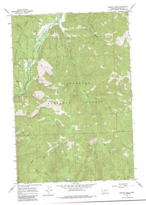
Piquett Creek Topo Map Montana
To zoom in, hover over the map of Piquett Creek
USGS Topo Quad 45114g2 - 1:24,000 scale
| Topo Map Name: | Piquett Creek |
| USGS Topo Quad ID: | 45114g2 |
| Print Size: | ca. 21 1/4" wide x 27" high |
| Southeast Coordinates: | 45.75° N latitude / 114.125° W longitude |
| Map Center Coordinates: | 45.8125° N latitude / 114.1875° W longitude |
| U.S. State: | MT |
| Filename: | o45114g2.jpg |
| Download Map JPG Image: | Piquett Creek topo map 1:24,000 scale |
| Map Type: | Topographic |
| Topo Series: | 7.5´ |
| Map Scale: | 1:24,000 |
| Source of Map Images: | United States Geological Survey (USGS) |
| Alternate Map Versions: |
Piquett Creek MT 1964, updated 1968 Download PDF Buy paper map Piquett Creek MT 1964, updated 1984 Download PDF Buy paper map Piquett Creek MT 1964, updated 1984 Download PDF Buy paper map Piquett Creek MT 1998, updated 2002 Download PDF Buy paper map Piquett Creek MT 2011 Download PDF Buy paper map Piquett Creek MT 2014 Download PDF Buy paper map |
| FStopo: | US Forest Service topo Piquett Creek is available: Download FStopo PDF Download FStopo TIF |
1:24,000 Topo Quads surrounding Piquett Creek
> Back to 45114e1 at 1:100,000 scale
> Back to 45114a1 at 1:250,000 scale
> Back to U.S. Topo Maps home
Piquett Creek topo map: Gazetteer
Piquett Creek: Airports
West Fork Lodge Airport elevation 1289m 4229′Piquett Creek: Gaps
Buck Creek Saddle elevation 1962m 6437′Piquett Creek: Streams
Applebury Creek elevation 1315m 4314′Baker Creek elevation 1280m 4199′
Boulder Creek elevation 1315m 4314′
Britts Creek elevation 1478m 4849′
Castle Creek elevation 1508m 4947′
Christisen Creek elevation 1291m 4235′
East Piquett Creek elevation 1295m 4248′
House Creek elevation 1309m 4294′
Lavene Creek elevation 1308m 4291′
Line Creek elevation 1633m 5357′
Lloyd Creek elevation 1282m 4206′
North Creek elevation 1919m 6295′
Notch Creek elevation 1739m 5705′
Pine Creek elevation 1305m 4281′
Piquett Creek elevation 1272m 4173′
Steep Creek elevation 1314m 4311′
Troy Creek elevation 1312m 4304′
Violet Creek elevation 1285m 4215′
West Creek elevation 1956m 6417′
Piquett Creek: Summits
Rocky Knob elevation 2474m 8116′Piquett Creek digital topo map on disk
Buy this Piquett Creek topo map showing relief, roads, GPS coordinates and other geographical features, as a high-resolution digital map file on DVD:


