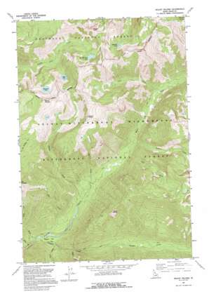
Mount Paloma Topo Map Idaho
To zoom in, hover over the map of Mount Paloma
USGS Topo Quad 45114h5 - 1:24,000 scale
| Topo Map Name: | Mount Paloma |
| USGS Topo Quad ID: | 45114h5 |
| Print Size: | ca. 21 1/4" wide x 27" high |
| Southeast Coordinates: | 45.875° N latitude / 114.5° W longitude |
| Map Center Coordinates: | 45.9375° N latitude / 114.5625° W longitude |
| U.S. State: | ID |
| Filename: | o45114h5.jpg |
| Download Map JPG Image: | Mount Paloma topo map 1:24,000 scale |
| Map Type: | Topographic |
| Topo Series: | 7.5´ |
| Map Scale: | 1:24,000 |
| Source of Map Images: | United States Geological Survey (USGS) |
| Alternate Map Versions: |
Mount Paloma ID 1966, updated 1968 Download PDF Buy paper map Mount Paloma ID 1966, updated 1991 Download PDF Buy paper map Mount Paloma ID 1991, updated 1995 Download PDF Buy paper map Mount Paloma ID 1998, updated 2002 Download PDF Buy paper map Mount Paloma ID 2011 Download PDF Buy paper map Mount Paloma ID 2013 Download PDF Buy paper map |
| FStopo: | US Forest Service topo Mount Paloma is available: Download FStopo PDF Download FStopo TIF |
1:24,000 Topo Quads surrounding Mount Paloma
> Back to 45114e1 at 1:100,000 scale
> Back to 45114a1 at 1:250,000 scale
> Back to U.S. Topo Maps home
Mount Paloma topo map: Gazetteer
Mount Paloma: Flats
Cooper Flat elevation 1174m 3851′Mount Paloma: Lakes
Bills Lake elevation 2062m 6765′Brushy Fork Lake elevation 2181m 7155′
Emerald Lake elevation 2141m 7024′
Stingray Lake elevation 2047m 6715′
Mount Paloma: Streams
Baldy Creek elevation 1120m 3674′Canyon Creek elevation 1131m 3710′
Clift Creek elevation 1391m 4563′
Cooper Creek elevation 1194m 3917′
Elk Creek elevation 1226m 4022′
Fall Creek elevation 1269m 4163′
Fox Creek elevation 1169m 3835′
George Creek elevation 1138m 3733′
Granite Creek elevation 1278m 4192′
Paloma Creek elevation 1194m 3917′
Peach Creek elevation 1159m 3802′
Mount Paloma: Summits
Cuneo Point elevation 2497m 8192′Mount Paloma elevation 2544m 8346′
Nipple Knob elevation 2577m 8454′
Vance Point elevation 2079m 6820′
Mount Paloma digital topo map on disk
Buy this Mount Paloma topo map showing relief, roads, GPS coordinates and other geographical features, as a high-resolution digital map file on DVD:


