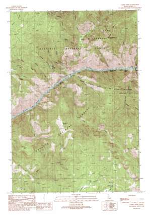
Carey Dome Topo Map Idaho
To zoom in, hover over the map of Carey Dome
USGS Topo Quad 45115d8 - 1:24,000 scale
| Topo Map Name: | Carey Dome |
| USGS Topo Quad ID: | 45115d8 |
| Print Size: | ca. 21 1/4" wide x 27" high |
| Southeast Coordinates: | 45.375° N latitude / 115.875° W longitude |
| Map Center Coordinates: | 45.4375° N latitude / 115.9375° W longitude |
| U.S. State: | ID |
| Filename: | o45115d8.jpg |
| Download Map JPG Image: | Carey Dome topo map 1:24,000 scale |
| Map Type: | Topographic |
| Topo Series: | 7.5´ |
| Map Scale: | 1:24,000 |
| Source of Map Images: | United States Geological Survey (USGS) |
| Alternate Map Versions: |
Carey Dome ID 1989, updated 1990 Download PDF Buy paper map Carey Dome ID 1995, updated 1999 Download PDF Buy paper map Carey Dome ID 2011 Download PDF Buy paper map Carey Dome ID 2013 Download PDF Buy paper map |
| FStopo: | US Forest Service topo Carey Dome is available: Download FStopo PDF Download FStopo TIF |
1:24,000 Topo Quads surrounding Carey Dome
> Back to 45115a1 at 1:100,000 scale
> Back to 45114a1 at 1:250,000 scale
> Back to U.S. Topo Maps home
Carey Dome topo map: Gazetteer
Carey Dome: Bars
Long Tom Bar elevation 608m 1994′Carey Dome: Bridges
Antler Ridge elevation 1568m 5144′Wind River Pack Bridge elevation 598m 1961′
Carey Dome: Flats
Peterson Flat elevation 1439m 4721′Carey Dome: Forests
Nez Perce National Forest elevation 1261m 4137′Payette National Forest elevation 1758m 5767′
Carey Dome: Gaps
Scott Saddle elevation 1434m 4704′Studebaker Saddle elevation 1615m 5298′
Carey Dome: Lakes
Dry Lake elevation 1877m 6158′Carey Dome: Mines
Big Three Mine elevation 1529m 5016′Bullion Mine elevation 1512m 4960′
Carey Dome: Populated Places
Cable Car Crossing elevation 614m 2014′Green elevation 651m 2135′
Turner elevation 638m 2093′
Carey Dome: Rapids
Carey Falls elevation 619m 2030′Chittam Rapids elevation 691m 2267′
Vinegar Creek Rapids elevation 600m 1968′
Carey Dome: Ridges
Warnock Ridge elevation 1807m 5928′Carey Dome: Streams
Bullion Creek elevation 604m 1981′Carey Creek elevation 603m 1978′
Cherry Creek elevation 622m 2040′
Chittam Creek elevation 608m 1994′
East Fork Fall Creek elevation 853m 2798′
Fall Creek elevation 592m 1942′
Huntz Creek elevation 598m 1961′
Long Tom Creek elevation 623m 2043′
Meadow Creek elevation 952m 3123′
Vinegar Creek elevation 610m 2001′
Wind River elevation 601m 1971′
Witsher Creek elevation 607m 1991′
Carey Dome: Summits
Black Butte elevation 2051m 6729′Butzien Butte elevation 1847m 6059′
Carey Dome elevation 2340m 7677′
Carey Dome: Valleys
Forest Gulch elevation 657m 2155′Halls Gulch elevation 657m 2155′
Huntz Gulch elevation 598m 1961′
Lovell Gulch elevation 849m 2785′
Taylor Gulch elevation 596m 1955′
Carey Dome digital topo map on disk
Buy this Carey Dome topo map showing relief, roads, GPS coordinates and other geographical features, as a high-resolution digital map file on DVD:


