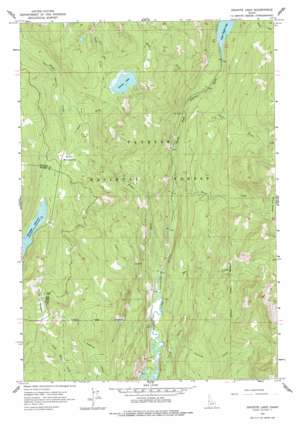
Granite Lake Topo Map Idaho
To zoom in, hover over the map of Granite Lake
USGS Topo Quad 45116a1 - 1:24,000 scale
| Topo Map Name: | Granite Lake |
| USGS Topo Quad ID: | 45116a1 |
| Print Size: | ca. 21 1/4" wide x 27" high |
| Southeast Coordinates: | 45° N latitude / 116° W longitude |
| Map Center Coordinates: | 45.0625° N latitude / 116.0625° W longitude |
| U.S. State: | ID |
| Filename: | o45116a1.jpg |
| Download Map JPG Image: | Granite Lake topo map 1:24,000 scale |
| Map Type: | Topographic |
| Topo Series: | 7.5´ |
| Map Scale: | 1:24,000 |
| Source of Map Images: | United States Geological Survey (USGS) |
| Alternate Map Versions: |
Granite Lake ID 1963, updated 1965 Download PDF Buy paper map Granite Lake ID 1963, updated 1977 Download PDF Buy paper map Granite Lake ID 1963, updated 1977 Download PDF Buy paper map Granite Lake ID 2004, updated 2007 Download PDF Buy paper map Granite Lake ID 2011 Download PDF Buy paper map Granite Lake ID 2013 Download PDF Buy paper map |
| FStopo: | US Forest Service topo Granite Lake is available: Download FStopo PDF Download FStopo TIF |
1:24,000 Topo Quads surrounding Granite Lake
> Back to 45116a1 at 1:100,000 scale
> Back to 45116a1 at 1:250,000 scale
> Back to U.S. Topo Maps home
Granite Lake topo map: Gazetteer
Granite Lake: Dams
Granite Lake Dam elevation 2054m 6738′Upper Payette Lake Dam elevation 1694m 5557′
Granite Lake: Flats
Hartly Meadows elevation 2135m 7004′Sater Meadows elevation 1923m 6309′
Granite Lake: Reservoirs
Granite Lake elevation 2054m 6738′Upper Payette Lake elevation 1694m 5557′
Granite Lake: Streams
Box Creek elevation 1532m 5026′Brush Creek elevation 1555m 5101′
Copet Creek elevation 1531m 5022′
Deep Creek elevation 1646m 5400′
East Fork Fisher Creek elevation 1923m 6309′
Elip Creek elevation 1559m 5114′
Fisher Creek elevation 1532m 5026′
Lake Creek elevation 2060m 6758′
North Fork Pearl Creek elevation 2046m 6712′
Pearl Creek elevation 1660m 5446′
Twah Creek elevation 1520m 4986′
Yockwah Creek elevation 1593m 5226′
Granite Lake digital topo map on disk
Buy this Granite Lake topo map showing relief, roads, GPS coordinates and other geographical features, as a high-resolution digital map file on DVD:


