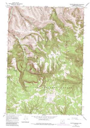
Granite Meadows Topo Map Oregon
To zoom in, hover over the map of Granite Meadows
USGS Topo Quad 45118c7 - 1:24,000 scale
| Topo Map Name: | Granite Meadows |
| USGS Topo Quad ID: | 45118c7 |
| Print Size: | ca. 21 1/4" wide x 27" high |
| Southeast Coordinates: | 45.25° N latitude / 118.75° W longitude |
| Map Center Coordinates: | 45.3125° N latitude / 118.8125° W longitude |
| U.S. State: | OR |
| Filename: | o45118c7.jpg |
| Download Map JPG Image: | Granite Meadows topo map 1:24,000 scale |
| Map Type: | Topographic |
| Topo Series: | 7.5´ |
| Map Scale: | 1:24,000 |
| Source of Map Images: | United States Geological Survey (USGS) |
| Alternate Map Versions: |
Granite Meadows OR 1967, updated 1969 Download PDF Buy paper map Granite Meadows OR 1967, updated 1984 Download PDF Buy paper map Granite Meadows OR 1995, updated 1998 Download PDF Buy paper map Granite Meadows OR 2011 Download PDF Buy paper map Granite Meadows OR 2014 Download PDF Buy paper map |
| FStopo: | US Forest Service topo Granite Meadows is available: Download FStopo PDF Download FStopo TIF |
1:24,000 Topo Quads surrounding Granite Meadows
> Back to 45118a1 at 1:100,000 scale
> Back to 45118a1 at 1:250,000 scale
> Back to U.S. Topo Maps home
Granite Meadows topo map: Gazetteer
Granite Meadows: Flats
Albee Meadow elevation 1468m 4816′Bradley Flat elevation 1464m 4803′
Granite Meadows elevation 1494m 4901′
Sagebrush Flat elevation 1567m 5141′
South Prairie elevation 1538m 5045′
Granite Meadows: Post Offices
Pine Grove Post Office (historical) elevation 1000m 3280′Granite Meadows: Ridges
Lower Bench elevation 1174m 3851′Upper Bench elevation 1368m 4488′
Granite Meadows: Springs
Bradley Flat Spring elevation 1446m 4744′Cold Spring elevation 1462m 4796′
Hascall Spring elevation 1519m 4983′
Rowley Cabin Spring elevation 1523m 4996′
Granite Meadows: Summits
Table Mountain elevation 1520m 4986′Granite Meadows: Valleys
Beeman Canyon elevation 1450m 4757′Blue Gulch elevation 812m 2664′
Chute Gulch elevation 1336m 4383′
Cold Spring Canyon elevation 1384m 4540′
Coyote Gulch elevation 940m 3083′
Fall Gulch elevation 1248m 4094′
Kenny Gulch elevation 973m 3192′
Merle Gulch elevation 1073m 3520′
South Canyon elevation 1139m 3736′
Table Mountain Gulch elevation 1061m 3480′
West Gulch elevation 862m 2828′
Granite Meadows digital topo map on disk
Buy this Granite Meadows topo map showing relief, roads, GPS coordinates and other geographical features, as a high-resolution digital map file on DVD:


