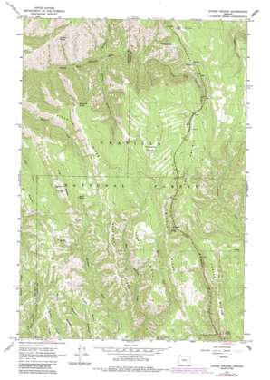
Andies Prairie Topo Map Oregon
To zoom in, hover over the map of Andies Prairie
USGS Topo Quad 45118f1 - 1:24,000 scale
| Topo Map Name: | Andies Prairie |
| USGS Topo Quad ID: | 45118f1 |
| Print Size: | ca. 21 1/4" wide x 27" high |
| Southeast Coordinates: | 45.625° N latitude / 118° W longitude |
| Map Center Coordinates: | 45.6875° N latitude / 118.0625° W longitude |
| U.S. State: | OR |
| Filename: | o45118f1.jpg |
| Download Map JPG Image: | Andies Prairie topo map 1:24,000 scale |
| Map Type: | Topographic |
| Topo Series: | 7.5´ |
| Map Scale: | 1:24,000 |
| Source of Map Images: | United States Geological Survey (USGS) |
| Alternate Map Versions: |
Andies Prairie OR 1963, updated 1965 Download PDF Buy paper map Andies Prairie OR 1963, updated 1980 Download PDF Buy paper map Andies Prairie OR 1963, updated 1984 Download PDF Buy paper map Andies Prairie OR 1995, updated 1998 Download PDF Buy paper map Andies Prairie OR 2011 Download PDF Buy paper map Andies Prairie OR 2014 Download PDF Buy paper map |
| FStopo: | US Forest Service topo Andies Prairie is available: Download FStopo PDF Download FStopo TIF |
1:24,000 Topo Quads surrounding Andies Prairie
> Back to 45118e1 at 1:100,000 scale
> Back to 45118a1 at 1:250,000 scale
> Back to U.S. Topo Maps home
Andies Prairie topo map: Gazetteer
Andies Prairie: Flats
Andies Prairie elevation 1542m 5059′Horseshoe Prairie elevation 1619m 5311′
Andies Prairie: Ridges
Andies Ridge elevation 1367m 4484′Glenn Ridge elevation 1306m 4284′
High Ridge elevation 1614m 5295′
Ninemile Ridge elevation 1602m 5255′
Pedro Ridge elevation 1506m 4940′
Andies Prairie: Springs
English Spring elevation 1301m 4268′Ford Spring elevation 1508m 4947′
Gant Spring elevation 1375m 4511′
Huckleberry Spring elevation 1377m 4517′
Indian Spring elevation 1527m 5009′
Indian Spring elevation 1514m 4967′
Odessa Spring elevation 1631m 5351′
Picnic Spring elevation 1283m 4209′
Portuguese Spring elevation 1356m 4448′
Shamrock Spring elevation 1532m 5026′
Squaw Spring elevation 1499m 4917′
Waight Spring elevation 1586m 5203′
Will Rogers Spring elevation 1370m 4494′
Andies Prairie: Streams
Johnson Creek elevation 975m 3198′Pedro Creek elevation 1140m 3740′
Woodward Creek elevation 989m 3244′
Andies Prairie: Trails
North Fork Trail elevation 1263m 4143′Andies Prairie digital topo map on disk
Buy this Andies Prairie topo map showing relief, roads, GPS coordinates and other geographical features, as a high-resolution digital map file on DVD:


