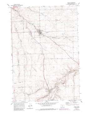
Wasco Topo Map Oregon
To zoom in, hover over the map of Wasco
USGS Topo Quad 45120e6 - 1:24,000 scale
| Topo Map Name: | Wasco |
| USGS Topo Quad ID: | 45120e6 |
| Print Size: | ca. 21 1/4" wide x 27" high |
| Southeast Coordinates: | 45.5° N latitude / 120.625° W longitude |
| Map Center Coordinates: | 45.5625° N latitude / 120.6875° W longitude |
| U.S. State: | OR |
| Filename: | o45120e6.jpg |
| Download Map JPG Image: | Wasco topo map 1:24,000 scale |
| Map Type: | Topographic |
| Topo Series: | 7.5´ |
| Map Scale: | 1:24,000 |
| Source of Map Images: | United States Geological Survey (USGS) |
| Alternate Map Versions: |
Wasco OR 1971, updated 1973 Download PDF Buy paper map Wasco OR 1971, updated 1981 Download PDF Buy paper map Wasco OR 1971, updated 1987 Download PDF Buy paper map Wasco OR 2011 Download PDF Buy paper map Wasco OR 2014 Download PDF Buy paper map |
1:24,000 Topo Quads surrounding Wasco
> Back to 45120e1 at 1:100,000 scale
> Back to 45120a1 at 1:250,000 scale
> Back to U.S. Topo Maps home
Wasco topo map: Gazetteer
Wasco: Airports
Wasco State Airport elevation 427m 1400′Wasco: Parks
De Moss County Park elevation 477m 1564′Wasco City Park elevation 382m 1253′
Wasco Depot Park elevation 384m 1259′
Wasco: Populated Places
De Moss Springs elevation 479m 1571′Wasco elevation 390m 1279′
Wasco: Post Offices
Badger Post Office (historical) elevation 500m 1640′De Moss Springs Post Office (historical) elevation 500m 1640′
Wasco Post Office elevation 390m 1279′
Wasco: Springs
Kenneth Spring elevation 496m 1627′Wasco: Valleys
Barnum Canyon elevation 450m 1476′De Moss Canyon elevation 483m 1584′
Gordon Hollow elevation 480m 1574′
Wasco digital topo map on disk
Buy this Wasco topo map showing relief, roads, GPS coordinates and other geographical features, as a high-resolution digital map file on DVD:


