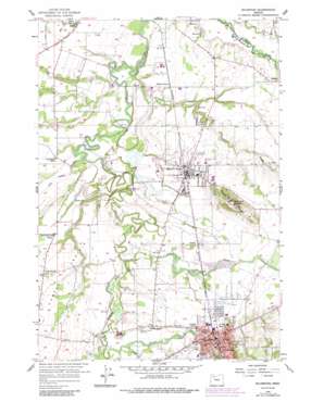
Silverton Topo Map Oregon
To zoom in, hover over the map of Silverton
USGS Topo Quad 45122a7 - 1:24,000 scale
| Topo Map Name: | Silverton |
| USGS Topo Quad ID: | 45122a7 |
| Print Size: | ca. 21 1/4" wide x 27" high |
| Southeast Coordinates: | 45° N latitude / 122.75° W longitude |
| Map Center Coordinates: | 45.0625° N latitude / 122.8125° W longitude |
| U.S. State: | OR |
| Filename: | o45122a7.jpg |
| Download Map JPG Image: | Silverton topo map 1:24,000 scale |
| Map Type: | Topographic |
| Topo Series: | 7.5´ |
| Map Scale: | 1:24,000 |
| Source of Map Images: | United States Geological Survey (USGS) |
| Alternate Map Versions: |
Silverton OR 1956, updated 1958 Download PDF Buy paper map Silverton OR 1956, updated 1971 Download PDF Buy paper map Silverton OR 1956, updated 1977 Download PDF Buy paper map Silverton OR 1956, updated 1986 Download PDF Buy paper map Silverton OR 2011 Download PDF Buy paper map Silverton OR 2014 Download PDF Buy paper map |
1:24,000 Topo Quads surrounding Silverton
> Back to 45122a1 at 1:100,000 scale
> Back to 45122a1 at 1:250,000 scale
> Back to U.S. Topo Maps home
Silverton topo map: Gazetteer
Silverton: Airports
Silverton Airfield elevation 65m 213′Silverton: Bridges
Gallon House Bridge elevation 56m 183′Silverton: Canals
Drescher Ditch elevation 46m 150′Walker Ditch elevation 41m 134′
Silverton: Dams
Silverfalls Timber Company Dam elevation 71m 232′Silverton: Parks
Ebner County Park elevation 53m 173′Fisher Memorial Park elevation 50m 164′
John B Humpert Park elevation 69m 226′
Silverton: Populated Places
Belle Passi (historical) elevation 57m 187′Bethany elevation 60m 196′
Dominic (historical) elevation 64m 209′
Downs elevation 62m 203′
McKee elevation 55m 180′
Mount Angel elevation 53m 173′
North Howell elevation 62m 203′
Silverton elevation 76m 249′
Silverton: Post Offices
Laurance Post Office (historical) elevation 62m 203′McKee Post Office (historical) elevation 55m 180′
Mount Angel Post Office elevation 53m 173′
Parkersville Post Office (historical) elevation 44m 144′
Saint Benedict Post Office elevation 149m 488′
Silverton Post Office elevation 75m 246′
Silverton: Reservoirs
Aarhus Reservoir elevation 53m 173′Beyer Reservoir elevation 55m 180′
Holden Reservoir elevation 57m 187′
McLaughlin Pond elevation 48m 157′
Schiedler Reservoir elevation 59m 193′
Webb Lake elevation 71m 232′
Zach Reservoir elevation 53m 173′
Silverton: Streams
Abiqua Creek elevation 46m 150′Bochsler Creek elevation 46m 150′
Brush Creek elevation 50m 164′
Evans Creek elevation 62m 203′
Farmers Creek elevation 34m 111′
Howell Prairie Creek elevation 44m 144′
Kraus Creek elevation 43m 141′
Little Pudding River elevation 40m 131′
Sam Brown Creek elevation 37m 121′
Silver Creek elevation 47m 154′
Withrow Creek elevation 37m 121′
Woods Creek elevation 41m 134′
Zollner Creek elevation 33m 108′
Silverton: Summits
Mount Angel elevation 149m 488′Silverton digital topo map on disk
Buy this Silverton topo map showing relief, roads, GPS coordinates and other geographical features, as a high-resolution digital map file on DVD:


