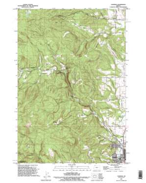
Chapman Topo Map Oregon
To zoom in, hover over the map of Chapman
USGS Topo Quad 45122g8 - 1:24,000 scale
| Topo Map Name: | Chapman |
| USGS Topo Quad ID: | 45122g8 |
| Print Size: | ca. 21 1/4" wide x 27" high |
| Southeast Coordinates: | 45.75° N latitude / 122.875° W longitude |
| Map Center Coordinates: | 45.8125° N latitude / 122.9375° W longitude |
| U.S. State: | OR |
| Filename: | o45122g8.jpg |
| Download Map JPG Image: | Chapman topo map 1:24,000 scale |
| Map Type: | Topographic |
| Topo Series: | 7.5´ |
| Map Scale: | 1:24,000 |
| Source of Map Images: | United States Geological Survey (USGS) |
| Alternate Map Versions: |
Chapman OR 1971, updated 1973 Download PDF Buy paper map Chapman OR 1971, updated 1985 Download PDF Buy paper map Chapman OR 1990, updated 1995 Download PDF Buy paper map Chapman OR 2011 Download PDF Buy paper map Chapman OR 2014 Download PDF Buy paper map |
1:24,000 Topo Quads surrounding Chapman
> Back to 45122e1 at 1:100,000 scale
> Back to 45122a1 at 1:250,000 scale
> Back to U.S. Topo Maps home
Chapman topo map: Gazetteer
Chapman: Airports
Grabhorns Airstrip elevation 78m 255′Chapman: Basins
Apple Valley elevation 103m 337′Chapman: Dams
James O Fisher Dam elevation 11m 36′Chapman: Falls
Bonnie Falls elevation 110m 360′Chapman: Lakes
Heinen Pond elevation 91m 298′Woods Pond elevation 15m 49′
Chapman: Populated Places
Chapman elevation 200m 656′Scappoose elevation 19m 62′
Spitzenberg elevation 168m 551′
Yankton elevation 94m 308′
Chapman: Post Offices
Chapman Post Office (historical) elevation 200m 656′Scappoose Post Office elevation 19m 62′
Yankton Post Office (historical) elevation 94m 308′
Chapman: Reservoirs
James O Fisher Reservoir elevation 11m 36′Sherman Reservoir elevation 20m 65′
Sherman Reservoir Number Two elevation 43m 141′
Chapman: Ridges
Strawberry Ridge elevation 87m 285′Chapman: Streams
Alder Creek elevation 13m 42′Alder Creek elevation 151m 495′
Brush Creek elevation 190m 623′
Cedar Creek elevation 190m 623′
Cox Creek elevation 68m 223′
Deep Creek elevation 53m 173′
Dooly Creek elevation 130m 426′
Fall Creek elevation 91m 298′
Lizzie Creek elevation 195m 639′
McLafferty Creek elevation 140m 459′
Salmon Creek elevation 68m 223′
Sly Creek elevation 34m 111′
Chapman: Summits
Bald Hill elevation 425m 1394′Chapman digital topo map on disk
Buy this Chapman topo map showing relief, roads, GPS coordinates and other geographical features, as a high-resolution digital map file on DVD:


