Siouxon Peak Topo Map Washington
To zoom in, hover over the map of Siouxon Peak
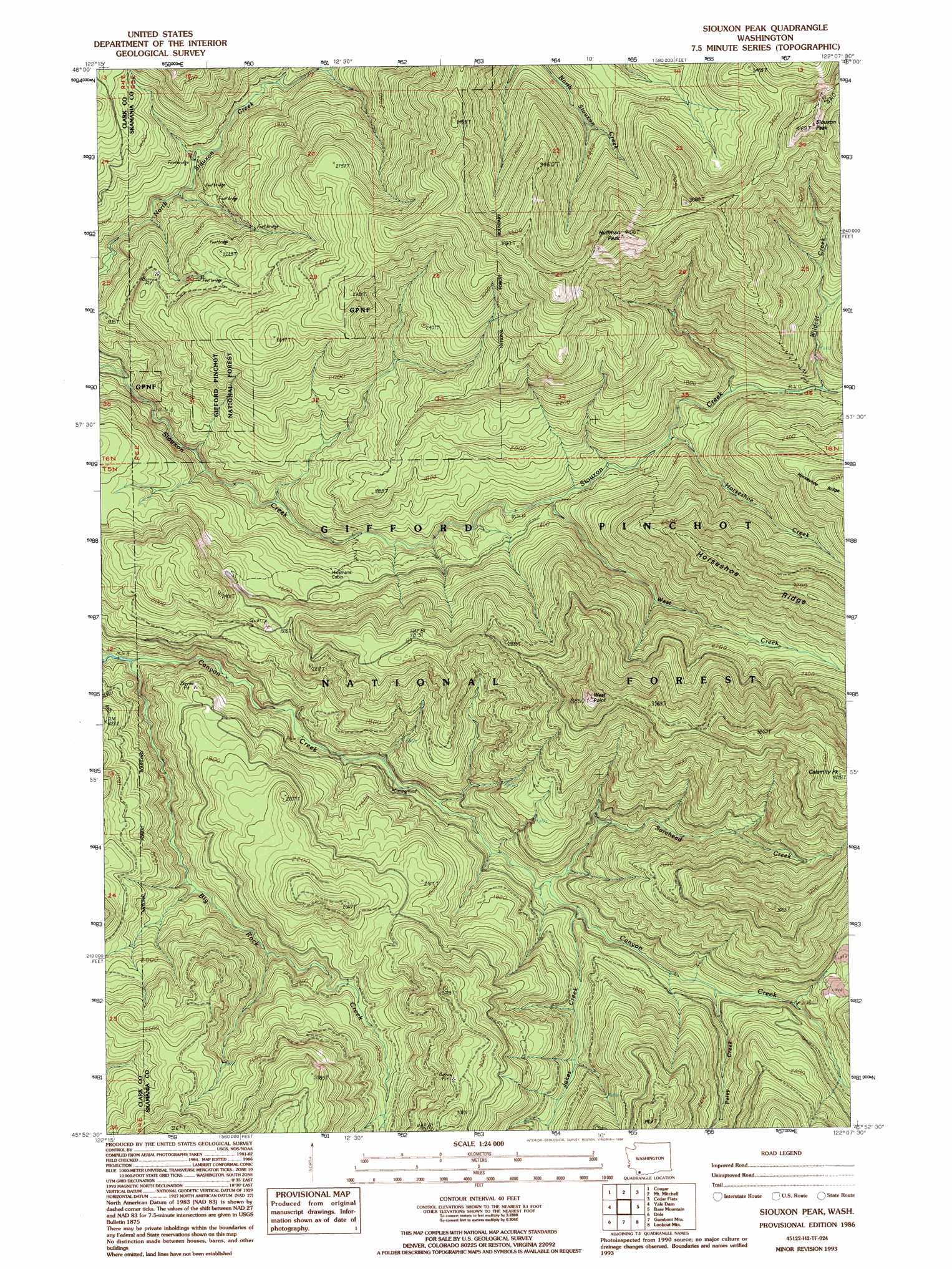
USGS Topo Quad 45122h2 - 1:24,000 scale
| Topo Map Name: | Siouxon Peak |
| USGS Topo Quad ID: | 45122h2 |
| Print Size: | ca. 21 1/4" wide x 27" high |
| Southeast Coordinates: | 45.875° N latitude / 122.125° W longitude |
| Map Center Coordinates: | 45.9375° N latitude / 122.1875° W longitude |
| U.S. State: | WA |
| Filename: | o45122h2.jpg |
| Download Map JPG Image: | Siouxon Peak topo map 1:24,000 scale |
| Map Type: | Topographic |
| Topo Series: | 7.5´ |
| Map Scale: | 1:24,000 |
| Source of Map Images: | United States Geological Survey (USGS) |
| Alternate Map Versions: |
Siouxon Peak WA 1986, updated 1986 Download PDF Buy paper map Siouxon Peak WA 1986, updated 1994 Download PDF Buy paper map Siouxon Peak WA 1998, updated 2003 Download PDF Buy paper map Siouxon Peak WA 2011 Download PDF Buy paper map Siouxon Peak WA 2014 Download PDF Buy paper map |
| FStopo: | US Forest Service topo Siouxon Peak is available: Download FStopo PDF Download FStopo TIF |
1:24,000 Topo Quads surrounding Siouxon Peak
Elk Mountain |
Goat Mountain |
Mount Sainte Helens |
Smith Creek Butte |
Spencer Butte |
Lakeview Peak |
Cougar |
Mount Mitchell |
Cedar Flats |
Burnt Peak |
Amboy |
Yale Dam |
Siouxon Peak |
Bare Mountain |
Termination Point |
Yacolt |
Dole |
Gumboot Mountain |
Lookout Mountain |
Stabler |
Lacamas Creek |
Larch Mountain |
Bobs Mountain |
Beacon Rock |
Bonneville Dam |
> Back to 45122e1 at 1:100,000 scale
> Back to 45122a1 at 1:250,000 scale
> Back to U.S. Topo Maps home
Siouxon Peak topo map: Gazetteer
Siouxon Peak: Streams
Big Rock Creek elevation 267m 875′Hackamore Creek elevation 616m 2020′
Horseshoe Creek elevation 388m 1272′
Jakes Creek elevation 415m 1361′
Pelvy Creek elevation 466m 1528′
Sorehead Creek elevation 398m 1305′
West Creek elevation 353m 1158′
Wildcat Creek elevation 442m 1450′
Siouxon Peak: Summits
Calamity Peak elevation 1290m 4232′Huffman Peak elevation 1204m 3950′
Siouxon Peak elevation 1145m 3756′
West Point elevation 1112m 3648′
Siouxon Peak: Trails
Canyon Creek Trail elevation 450m 1476′Horseshoe Ridge Trail elevation 995m 3264′
Siouxon Trail elevation 365m 1197′
Siouxon Peak digital topo map on disk
Buy this Siouxon Peak topo map showing relief, roads, GPS coordinates and other geographical features, as a high-resolution digital map file on DVD: