Dickey Topo Map North Dakota
To zoom in, hover over the map of Dickey
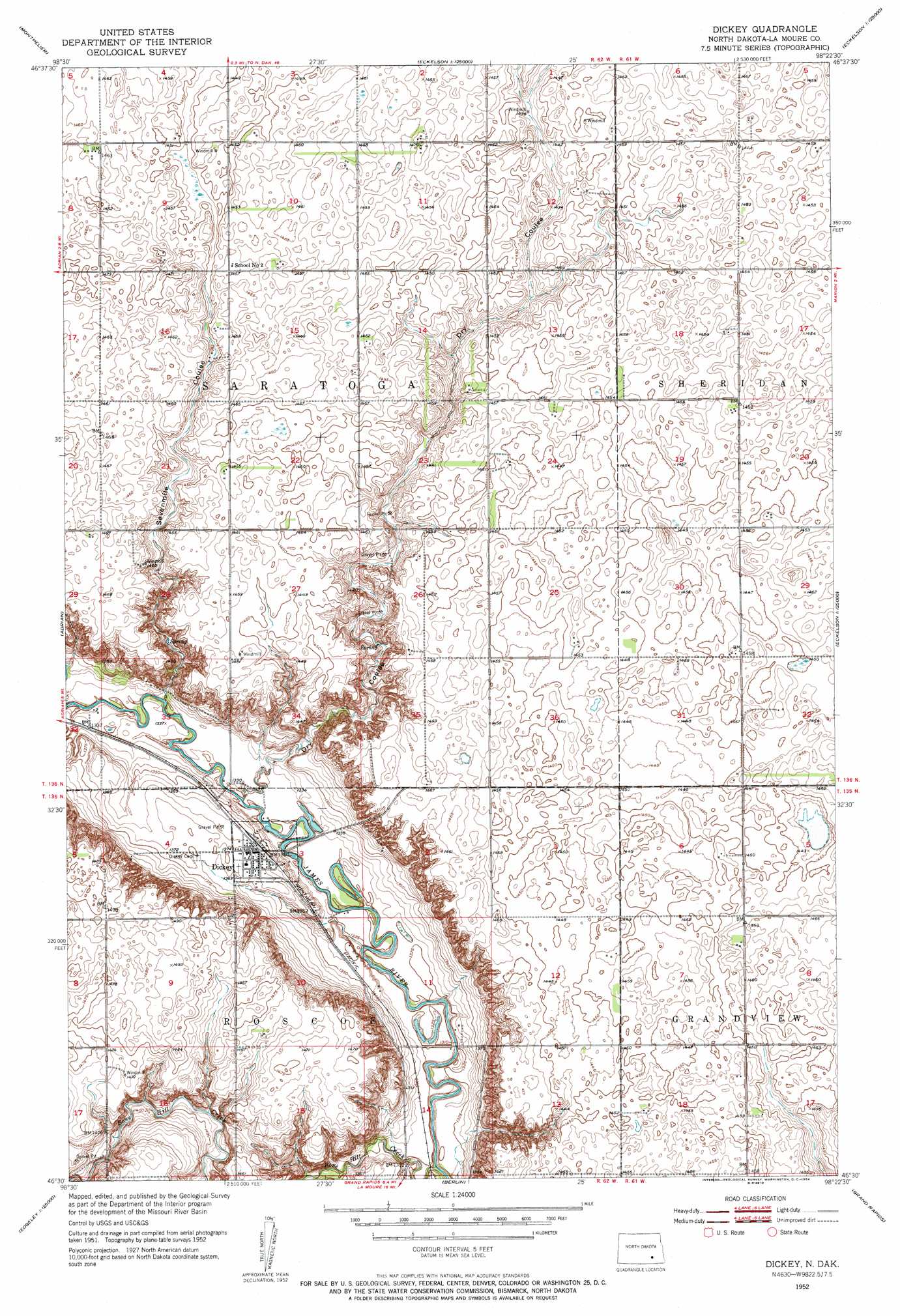
USGS Topo Quad 46098e4 - 1:24,000 scale
| Topo Map Name: | Dickey |
| USGS Topo Quad ID: | 46098e4 |
| Print Size: | ca. 21 1/4" wide x 27" high |
| Southeast Coordinates: | 46.5° N latitude / 98.375° W longitude |
| Map Center Coordinates: | 46.5625° N latitude / 98.4375° W longitude |
| U.S. State: | ND |
| Filename: | O46098E4.jpg |
| Download Map JPG Image: | Dickey topo map 1:24,000 scale |
| Map Type: | Topographic |
| Topo Series: | 7.5´ |
| Map Scale: | 1:24,000 |
| Source of Map Images: | United States Geological Survey (USGS) |
| Alternate Map Versions: |
Dickey ND 1952, updated 1954 Download PDF Buy paper map Dickey ND 2011 Download PDF Buy paper map Dickey ND 2014 Download PDF Buy paper map |
1:24,000 Topo Quads surrounding Dickey
Homer |
Ypsilanti |
Eckelson Sw |
Eckelson Se |
Moon Lake |
Montpelier Nw |
Montpelier |
Marion Nw |
Marion Ne |
Litchville |
Nortonville |
Adrian |
Dickey |
Marion |
Litchville Sw |
Edgeley Junction |
Medberry |
Berlin |
Grand Rapids |
Verona Nw |
Edgeley |
Edgeley Se |
La Moure Sw |
La Moure |
Independence |
> Back to 46098e1 at 1:100,000 scale
> Back to 46098a1 at 1:250,000 scale
> Back to U.S. Topo Maps home
Dickey topo map: Gazetteer
Dickey: Populated Places
Dickey elevation 414m 1358′Saratoga Springs (historical) elevation 405m 1328′
Dickey: Streams
Bone Hill Creek elevation 400m 1312′Dickey: Valleys
Dry Coulee elevation 405m 1328′Sevenmile Coulee elevation 402m 1318′
Dickey digital topo map on disk
Buy this Dickey topo map showing relief, roads, GPS coordinates and other geographical features, as a high-resolution digital map file on DVD:
Eastern North Dakota & Eastern South Dakota
Buy digital topo maps: Eastern North Dakota & Eastern South Dakota