Sand Buttes Topo Map Montana
To zoom in, hover over the map of Sand Buttes
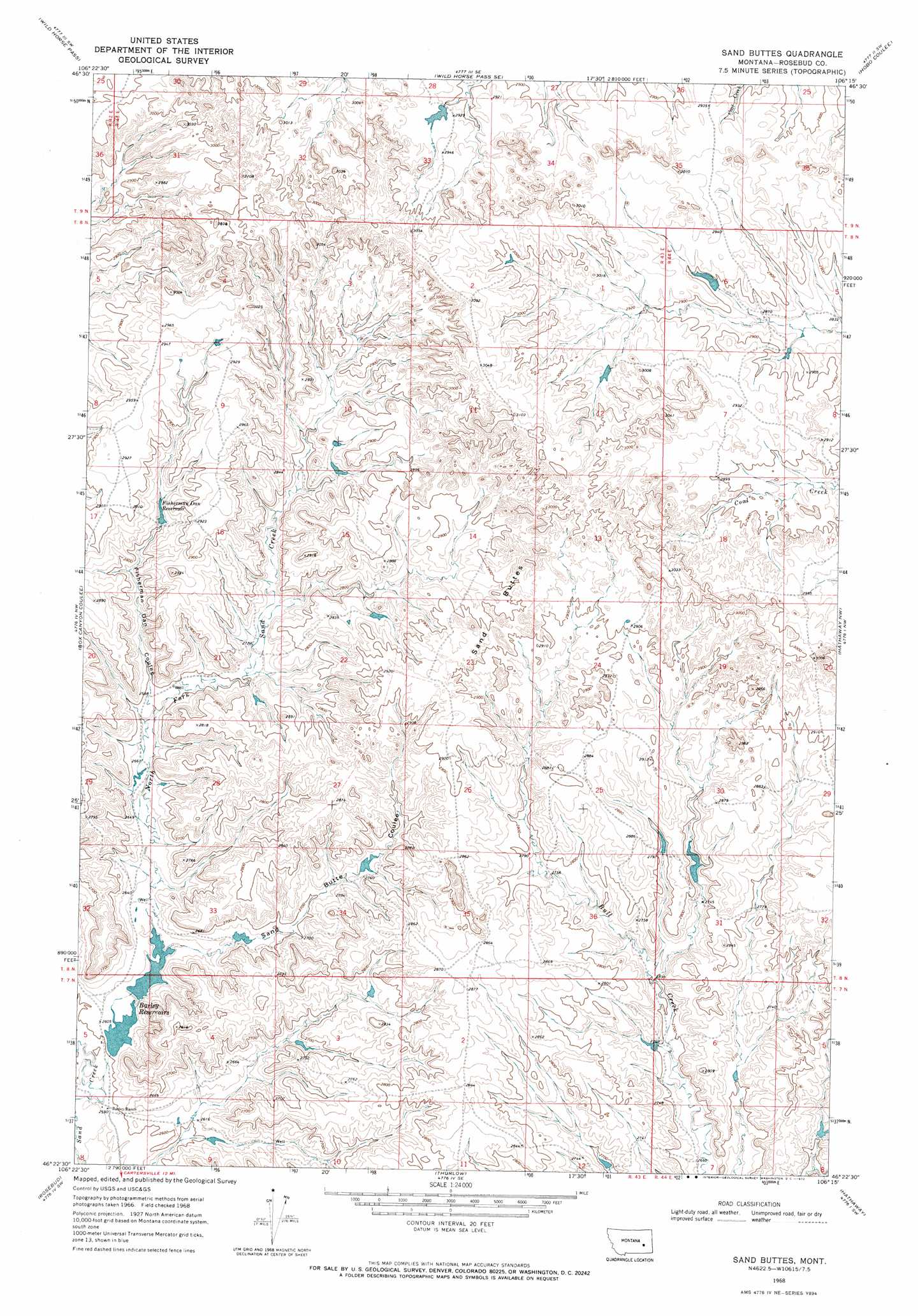
USGS Topo Quad 46106d3 - 1:24,000 scale
| Topo Map Name: | Sand Buttes |
| USGS Topo Quad ID: | 46106d3 |
| Print Size: | ca. 21 1/4" wide x 27" high |
| Southeast Coordinates: | 46.375° N latitude / 106.25° W longitude |
| Map Center Coordinates: | 46.4375° N latitude / 106.3125° W longitude |
| U.S. State: | MT |
| Filename: | o46106d3.jpg |
| Download Map JPG Image: | Sand Buttes topo map 1:24,000 scale |
| Map Type: | Topographic |
| Topo Series: | 7.5´ |
| Map Scale: | 1:24,000 |
| Source of Map Images: | United States Geological Survey (USGS) |
| Alternate Map Versions: |
Sand Buttes MT 1968, updated 1972 Download PDF Buy paper map Sand Buttes MT 2011 Download PDF Buy paper map Sand Buttes MT 2014 Download PDF Buy paper map |
1:24,000 Topo Quads surrounding Sand Buttes
Rough Creek Ne |
Van Burton Creek |
Alkali Creek |
Angela |
Angela Ne |
Rough Creek Se |
Wild Horse Pass |
Wild Horse Pass Se |
Hobo Coulee |
N Bar Coulee |
Schultz Coulee |
Box Canyon Coulee |
Sand Buttes |
Hathaway Nw |
Butterfly Creek |
Orinoco |
Rosebud |
Thurlow |
Hathaway |
Horton |
Smith Creek Ne |
Rosebud Buttes |
Indian Creek |
Miller Creek Nw |
Moon Creek School |
> Back to 46106a1 at 1:100,000 scale
> Back to 46106a1 at 1:250,000 scale
> Back to U.S. Topo Maps home
Sand Buttes topo map: Gazetteer
Sand Buttes: Dams
Hook Number 50 Dam elevation 812m 2664′Hook Number 51 Dam elevation 838m 2749′
Hook Number 52 Dam elevation 851m 2791′
Hook Number 55 Dam elevation 798m 2618′
Sand Buttes: Reservoirs
Barley Reservoir elevation 798m 2618′Barley Reservoirs elevation 799m 2621′
Fisherman Dan Reservoir elevation 857m 2811′
Sand Buttes: Streams
North Fork Sand Creek elevation 787m 2582′Sand Buttes: Summits
Sand Buttes elevation 881m 2890′Sand Buttes: Valleys
Fisherman Dan Coulee elevation 817m 2680′Sand Butte Coulee elevation 797m 2614′
Sand Buttes digital topo map on disk
Buy this Sand Buttes topo map showing relief, roads, GPS coordinates and other geographical features, as a high-resolution digital map file on DVD:
Eastern Montana & Western North Dakota
Buy digital topo maps: Eastern Montana & Western North Dakota