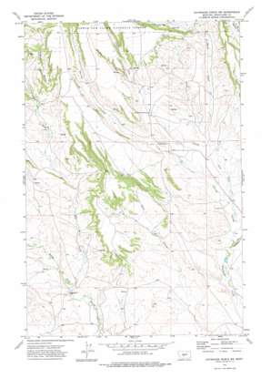
Haymaker Ranch Sw Topo Map Montana
To zoom in, hover over the map of Haymaker Ranch Sw
USGS Topo Quad 46110e2 - 1:24,000 scale
| Topo Map Name: | Haymaker Ranch Sw |
| USGS Topo Quad ID: | 46110e2 |
| Print Size: | ca. 21 1/4" wide x 27" high |
| Southeast Coordinates: | 46.5° N latitude / 110.125° W longitude |
| Map Center Coordinates: | 46.5625° N latitude / 110.1875° W longitude |
| U.S. State: | MT |
| Filename: | o46110e2.jpg |
| Download Map JPG Image: | Haymaker Ranch Sw topo map 1:24,000 scale |
| Map Type: | Topographic |
| Topo Series: | 7.5´ |
| Map Scale: | 1:24,000 |
| Source of Map Images: | United States Geological Survey (USGS) |
| Alternate Map Versions: |
Haymaker Ranch SW MT 1972, updated 1976 Download PDF Buy paper map Haymaker Ranch SW MT 1995, updated 1997 Download PDF Buy paper map Haymaker Ranch SW MT 2011 Download PDF Buy paper map Haymaker Ranch SW MT 2014 Download PDF Buy paper map |
| FStopo: | US Forest Service topo Haymaker Ranch SW is available: Download FStopo PDF Download FStopo TIF |
1:24,000 Topo Quads surrounding Haymaker Ranch Sw
> Back to 46110e1 at 1:100,000 scale
> Back to 46110a1 at 1:250,000 scale
> Back to U.S. Topo Maps home
Haymaker Ranch Sw topo map: Gazetteer
Haymaker Ranch Sw: Mines
Manger Millsite elevation 1482m 4862′Haymaker Ranch Sw: Parks
Haymaker State Wildlife Management Area elevation 1715m 5626′Haymaker Ranch Sw: Post Offices
Olof Post Office (historical) elevation 1631m 5351′Haymaker Ranch Sw: Streams
Dry Fork Daisy Dean Creek elevation 1487m 4878′East Fork Haymaker Creek elevation 1491m 4891′
Trombone Creek elevation 1553m 5095′
Haymaker Ranch Sw: Valleys
Barnhart Coulee elevation 1678m 5505′Clarks Fork Morrisy Coulee elevation 1519m 4983′
Iron Springs Coulee elevation 1683m 5521′
Morrisy Coulee elevation 1506m 4940′
Pierce Coulee elevation 1634m 5360′
Haymaker Ranch Sw: Wells
09N12E28____01 Well elevation 1486m 4875′Haymaker Ranch Sw digital topo map on disk
Buy this Haymaker Ranch Sw topo map showing relief, roads, GPS coordinates and other geographical features, as a high-resolution digital map file on DVD:


