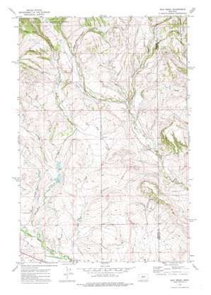
Mud Creek Topo Map Montana
To zoom in, hover over the map of Mud Creek
USGS Topo Quad 46110e3 - 1:24,000 scale
| Topo Map Name: | Mud Creek |
| USGS Topo Quad ID: | 46110e3 |
| Print Size: | ca. 21 1/4" wide x 27" high |
| Southeast Coordinates: | 46.5° N latitude / 110.25° W longitude |
| Map Center Coordinates: | 46.5625° N latitude / 110.3125° W longitude |
| U.S. State: | MT |
| Filename: | o46110e3.jpg |
| Download Map JPG Image: | Mud Creek topo map 1:24,000 scale |
| Map Type: | Topographic |
| Topo Series: | 7.5´ |
| Map Scale: | 1:24,000 |
| Source of Map Images: | United States Geological Survey (USGS) |
| Alternate Map Versions: |
Mud Creek MT 1972, updated 1975 Download PDF Buy paper map Mud Creek MT 1995, updated 1997 Download PDF Buy paper map Mud Creek MT 1997, updated 2002 Download PDF Buy paper map Mud Creek MT 2011 Download PDF Buy paper map Mud Creek MT 2014 Download PDF Buy paper map |
| FStopo: | US Forest Service topo Mud Creek is available: Download FStopo PDF Download FStopo TIF |
1:24,000 Topo Quads surrounding Mud Creek
> Back to 46110e1 at 1:100,000 scale
> Back to 46110a1 at 1:250,000 scale
> Back to U.S. Topo Maps home
Mud Creek topo map: Gazetteer
Mud Creek: Dams
Fifty Dollar Bill Dam elevation 1566m 5137′Hundred Dollar Bill Dam elevation 1534m 5032′
Mud Creek: Populated Places
Findon (historical) elevation 1679m 5508′Mud Creek: Post Offices
Findon Post Office (historical) elevation 1679m 5508′Mud Creek: Streams
Alkali Creek elevation 1493m 4898′Cameron Creek elevation 1723m 5652′
Morris Creek elevation 1591m 5219′
Mud Creek elevation 1480m 4855′
Nevada Creek elevation 1588m 5209′
Mud Creek: Valleys
Long Canyon elevation 1531m 5022′Picnic Canyon elevation 1663m 5456′
Quaking Aspen Coulee elevation 1684m 5524′
Mud Creek: Wells
10N11E28B___01 Well elevation 1709m 5606′10N11E28C___01 Well elevation 1669m 5475′
10N12E30CBBA01 Well elevation 1700m 5577′
Mud Creek digital topo map on disk
Buy this Mud Creek topo map showing relief, roads, GPS coordinates and other geographical features, as a high-resolution digital map file on DVD:


