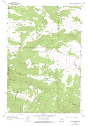
Snedaker Basin Topo Map Montana
To zoom in, hover over the map of Snedaker Basin
USGS Topo Quad 46111g5 - 1:24,000 scale
| Topo Map Name: | Snedaker Basin |
| USGS Topo Quad ID: | 46111g5 |
| Print Size: | ca. 21 1/4" wide x 27" high |
| Southeast Coordinates: | 46.75° N latitude / 111.5° W longitude |
| Map Center Coordinates: | 46.8125° N latitude / 111.5625° W longitude |
| U.S. State: | MT |
| Filename: | o46111g5.jpg |
| Download Map JPG Image: | Snedaker Basin topo map 1:24,000 scale |
| Map Type: | Topographic |
| Topo Series: | 7.5´ |
| Map Scale: | 1:24,000 |
| Source of Map Images: | United States Geological Survey (USGS) |
| Alternate Map Versions: |
Snedaker Basin MT 1962, updated 1964 Download PDF Buy paper map Snedaker Basin MT 1962, updated 1975 Download PDF Buy paper map Snedaker Basin MT 2011 Download PDF Buy paper map Snedaker Basin MT 2014 Download PDF Buy paper map |
| FStopo: | US Forest Service topo Snedaker Basin is available: Download FStopo PDF Download FStopo TIF |
1:24,000 Topo Quads surrounding Snedaker Basin
> Back to 46111e1 at 1:100,000 scale
> Back to 46110a1 at 1:250,000 scale
> Back to U.S. Topo Maps home
Snedaker Basin topo map: Gazetteer
Snedaker Basin: Basins
Jim Ball Basin elevation 1867m 6125′Snedaker Basin elevation 1975m 6479′
Sunshine Basin elevation 1746m 5728′
Snedaker Basin: Populated Places
Vista elevation 1902m 6240′Snedaker Basin: Ridges
Snedaker Divide elevation 2054m 6738′Snedaker Basin: Streams
Butte Creek elevation 1699m 5574′French Creek elevation 1685m 5528′
Indian Creek elevation 1544m 5065′
North Fork Rock Creek elevation 1606m 5269′
Onion Creek elevation 1678m 5505′
Snedaker Basin: Trails
Hanging Valley National Recreation Trail elevation 2073m 6801′Vigilante National Recreation Trail elevation 1680m 5511′
Snedaker Basin: Valleys
Bluegill Canyon elevation 1773m 5816′Culp Gulch elevation 1548m 5078′
Snedaker Basin digital topo map on disk
Buy this Snedaker Basin topo map showing relief, roads, GPS coordinates and other geographical features, as a high-resolution digital map file on DVD:


