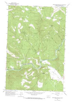
Sunflower Mountain Topo Map Montana
To zoom in, hover over the map of Sunflower Mountain
USGS Topo Quad 46113h6 - 1:24,000 scale
| Topo Map Name: | Sunflower Mountain |
| USGS Topo Quad ID: | 46113h6 |
| Print Size: | ca. 21 1/4" wide x 27" high |
| Southeast Coordinates: | 46.875° N latitude / 113.625° W longitude |
| Map Center Coordinates: | 46.9375° N latitude / 113.6875° W longitude |
| U.S. State: | MT |
| Filename: | o46113h6.jpg |
| Download Map JPG Image: | Sunflower Mountain topo map 1:24,000 scale |
| Map Type: | Topographic |
| Topo Series: | 7.5´ |
| Map Scale: | 1:24,000 |
| Source of Map Images: | United States Geological Survey (USGS) |
| Alternate Map Versions: |
Sunflower Mountain MT 1965, updated 1967 Download PDF Buy paper map Sunflower Mountain MT 1999, updated 2003 Download PDF Buy paper map Sunflower Mountain MT 2011 Download PDF Buy paper map Sunflower Mountain MT 2014 Download PDF Buy paper map |
| FStopo: | US Forest Service topo Sunflower Mountain is available: Download FStopo PDF Download FStopo TIF |
1:24,000 Topo Quads surrounding Sunflower Mountain
> Back to 46113e1 at 1:100,000 scale
> Back to 46112a1 at 1:250,000 scale
> Back to U.S. Topo Maps home
Sunflower Mountain topo map: Gazetteer
Sunflower Mountain: Bays
Daigles Eddy elevation 1056m 3464′Sunflower Mountain: Bridges
McNamara Bridge elevation 1040m 3412′Sunflower Mountain: Dams
Lepus Dam elevation 1084m 3556′Sunflower Mountain: Flats
Johnsrud Park elevation 1048m 3438′Sheep Flats elevation 1080m 3543′
Sunflower Mountain: Lakes
Lockwood Lake elevation 1036m 3398′Sunflower Mountain: Populated Places
McNamara elevation 1051m 3448′Twin Creeks elevation 1039m 3408′
Sunflower Mountain: Post Offices
Twin Creeks Post Office (historical) elevation 1039m 3408′Sunflower Mountain: Streams
Bear Creek elevation 1043m 3421′Burnt Bridge Creek elevation 1069m 3507′
Cow Creek elevation 1223m 4012′
East Twin Creek elevation 1033m 3389′
Game Creek elevation 1074m 3523′
Gold Creek elevation 1042m 3418′
Norman Creek elevation 1071m 3513′
Spring Creek elevation 1274m 4179′
Union Creek elevation 1043m 3421′
Wagner Creek elevation 1036m 3398′
Warm Springs Creek elevation 1069m 3507′
West Fork Gold Creek elevation 1244m 4081′
West Twin Creek elevation 1032m 3385′
Wild Horse Creek elevation 1240m 4068′
Sunflower Mountain: Summits
Diamond Mountain elevation 1312m 4304′Sunflower Mountain elevation 1729m 5672′
Sunflower Mountain: Valleys
Dog Monument Draw elevation 1078m 3536′Elk Draw elevation 1083m 3553′
Heyers Gulch elevation 1034m 3392′
Whiskey Gulch elevation 1084m 3556′
Sunflower Mountain digital topo map on disk
Buy this Sunflower Mountain topo map showing relief, roads, GPS coordinates and other geographical features, as a high-resolution digital map file on DVD:


