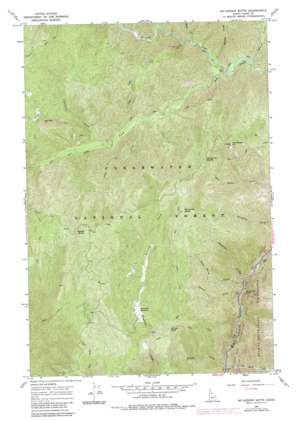
Mclendon Butte Topo Map Idaho
To zoom in, hover over the map of Mclendon Butte
USGS Topo Quad 46115c4 - 1:24,000 scale
| Topo Map Name: | Mclendon Butte |
| USGS Topo Quad ID: | 46115c4 |
| Print Size: | ca. 21 1/4" wide x 27" high |
| Southeast Coordinates: | 46.25° N latitude / 115.375° W longitude |
| Map Center Coordinates: | 46.3125° N latitude / 115.4375° W longitude |
| U.S. State: | ID |
| Filename: | o46115c4.jpg |
| Download Map JPG Image: | Mclendon Butte topo map 1:24,000 scale |
| Map Type: | Topographic |
| Topo Series: | 7.5´ |
| Map Scale: | 1:24,000 |
| Source of Map Images: | United States Geological Survey (USGS) |
| Alternate Map Versions: |
Mc Lendon Butte ID 1966, updated 1969 Download PDF Buy paper map Mc Lendon Butte ID 1966, updated 1984 Download PDF Buy paper map Mc Lendon Butte ID 1994, updated 1998 Download PDF Buy paper map McLendon Butte ID 2011 Download PDF Buy paper map McLendon Butte ID 2013 Download PDF Buy paper map |
| FStopo: | US Forest Service topo McLendon Butte is available: Download FStopo PDF Download FStopo TIF |
1:24,000 Topo Quads surrounding Mclendon Butte
> Back to 46115a1 at 1:100,000 scale
> Back to 46114a1 at 1:250,000 scale
> Back to U.S. Topo Maps home
Mclendon Butte topo map: Gazetteer
Mclendon Butte: Falls
Shoestring Falls elevation 559m 1833′Mclendon Butte: Flats
Bimerick Meadows elevation 1275m 4183′Mclendon Butte: Gaps
Fish Butte Saddle elevation 1361m 4465′Mclendon Butte: Streams
Alder Creek elevation 957m 3139′Ceanothus Creek elevation 976m 3202′
Doubt Creek elevation 904m 2965′
Horn Creek elevation 892m 2926′
Hungery Creek elevation 831m 2726′
Macaroni Creek elevation 563m 1847′
Old Man Creek elevation 557m 1827′
Poker Creek elevation 964m 3162′
Tomcat Creek elevation 564m 1850′
Tumble Creek elevation 541m 1774′
Wild Horse Creek elevation 564m 1850′
Willow Creek elevation 804m 2637′
Mclendon Butte: Summits
Ant Hill elevation 1350m 4429′Fish Butte elevation 1627m 5337′
McLendon Butte elevation 1694m 5557′
Middle Butte elevation 1641m 5383′
Obia Point elevation 1397m 4583′
Smoky Peak elevation 1380m 4527′
Mclendon Butte digital topo map on disk
Buy this Mclendon Butte topo map showing relief, roads, GPS coordinates and other geographical features, as a high-resolution digital map file on DVD:


