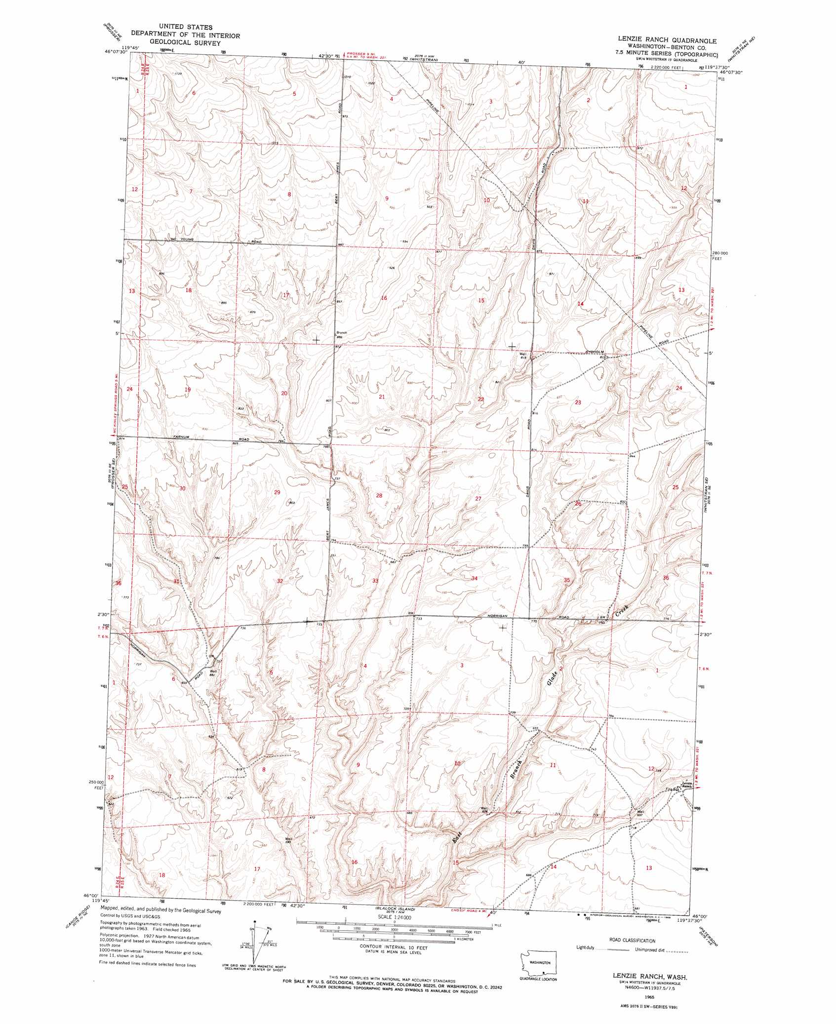
Lenzie Ranch Topo Map Washington
To zoom in, hover over the map of Lenzie Ranch
USGS Topo Quad 46119a6 - 1:24,000 scale
| Topo Map Name: | Lenzie Ranch |
| USGS Topo Quad ID: | 46119a6 |
| Print Size: | ca. 21 1/4" wide x 27" high |
| Southeast Coordinates: | 46° N latitude / 119.625° W longitude |
| Map Center Coordinates: | 46.0625° N latitude / 119.6875° W longitude |
| U.S. State: | WA |
| Filename: | o46119a6.jpg |
| Download Map JPG Image: | Lenzie Ranch topo map 1:24,000 scale |
| Map Type: | Topographic |
| Topo Series: | 7.5´ |
| Map Scale: | 1:24,000 |
| Source of Map Images: | United States Geological Survey (USGS) |
| Alternate Map Versions: |
Lenzie Ranch WA 1965, updated 1966 Download PDF Buy paper map Lenzie Ranch WA 2011 Download PDF Buy paper map Lenzie Ranch WA 2013 Download PDF Buy paper map |
1:24,000 Topo Quads surrounding Lenzie Ranch
Grandview |
Sagebrush Ridge |
Snipes Creek |
Corral Canyon |
Benton City |
Mabton East |
Prosser |
Whitstran |
Whitstran Ne |
Webber Canyon |
Prosser Sw |
Prosser Se |
Lenzie Ranch |
Whitstran Se |
Prior Ranch |
Phinny Hill |
Canoe Ridge |
Blalock Island |
Paterson |
Irrigon |
Alderdale |
Crow Butte |
Boardman |
Clarke |
Ordnance |
> Back to 46119a1 at 1:100,000 scale
> Back to 46118a1 at 1:250,000 scale
> Back to U.S. Topo Maps home
No gazetteer data is available for the Lenzie Ranch topo map sheet.
Lenzie Ranch digital topo map on disk
Buy this Lenzie Ranch topo map showing relief, roads, GPS coordinates and other geographical features, as a high-resolution digital map file on DVD: