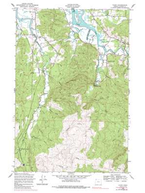
Olney Topo Map Oregon
To zoom in, hover over the map of Olney
USGS Topo Quad 46123a7 - 1:24,000 scale
| Topo Map Name: | Olney |
| USGS Topo Quad ID: | 46123a7 |
| Print Size: | ca. 21 1/4" wide x 27" high |
| Southeast Coordinates: | 46° N latitude / 123.75° W longitude |
| Map Center Coordinates: | 46.0625° N latitude / 123.8125° W longitude |
| U.S. State: | OR |
| Filename: | o46123a7.jpg |
| Download Map JPG Image: | Olney topo map 1:24,000 scale |
| Map Type: | Topographic |
| Topo Series: | 7.5´ |
| Map Scale: | 1:24,000 |
| Source of Map Images: | United States Geological Survey (USGS) |
| Alternate Map Versions: |
Olney OR 1949, updated 1955 Download PDF Buy paper map Olney OR 1949, updated 1955 Download PDF Buy paper map Olney OR 1949, updated 1986 Download PDF Buy paper map Olney OR 2011 Download PDF Buy paper map Olney OR 2014 Download PDF Buy paper map |
1:24,000 Topo Quads surrounding Olney
> Back to 46123a1 at 1:100,000 scale
> Back to 46122a1 at 1:250,000 scale
> Back to U.S. Topo Maps home
Olney topo map: Gazetteer
Olney: Falls
Youngs River Falls elevation 16m 52′Olney: Guts
Cooperage Slough elevation 1m 3′Olney: Islands
Grant Island elevation 1m 3′Haven Island elevation 1m 3′
Olney: Parks
Lewis and Clark River Boat Ramp elevation 2m 6′Olney: Populated Places
Chadwell (historical) elevation 8m 26′Melville elevation 8m 26′
Olney elevation 33m 108′
Olney: Post Offices
Casey Post Office (historical) elevation 7m 22′Chadwell Post Office (historical) elevation 8m 26′
Melville Post Office (historical) elevation 8m 26′
Olney Post Office (historical) elevation 33m 108′
Wise Post Office (historical) elevation 6m 19′
Olney: Reservoirs
Warrenton Reservoir elevation 91m 298′Olney: Ridges
Eels Ridge elevation 476m 1561′Lone Ridge elevation 291m 954′
Olney: Streams
Battle Creek Slough elevation 1m 3′Bayney Creek elevation 60m 196′
Brower Creek elevation 1m 3′
Casey Slough elevation 1m 3′
Heckard Creek elevation 1m 3′
Hortill Creek elevation 7m 22′
Johnson Slough elevation 2m 6′
Johnston Creek elevation 3m 9′
Klaskanine River elevation 1m 3′
Klickitat Creek elevation 9m 29′
Laws Creek elevation 107m 351′
Loowit Creek elevation 16m 52′
Moosmoos Creek elevation 7m 22′
Pearse Creek elevation 9m 29′
Peterson Slough elevation 2m 6′
Shweeash Creek elevation 21m 68′
Speelyai Creek elevation 9m 29′
Stavebolt Creek elevation 8m 26′
Tucker Creek elevation 1m 3′
Tucker Slough elevation 1m 3′
Walford Johnson Creek elevation 13m 42′
Wawa Creek elevation 41m 134′
Olney: Summits
Sister Green Mountain elevation 521m 1709′Olney digital topo map on disk
Buy this Olney topo map showing relief, roads, GPS coordinates and other geographical features, as a high-resolution digital map file on DVD:


