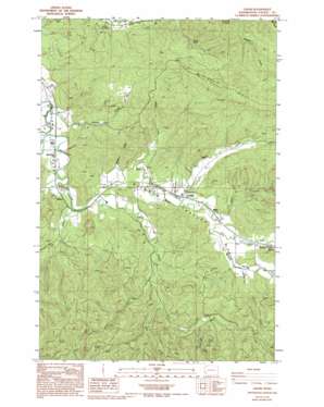
Lebam Topo Map Washington
To zoom in, hover over the map of Lebam
USGS Topo Quad 46123e5 - 1:24,000 scale
| Topo Map Name: | Lebam |
| USGS Topo Quad ID: | 46123e5 |
| Print Size: | ca. 21 1/4" wide x 27" high |
| Southeast Coordinates: | 46.5° N latitude / 123.5° W longitude |
| Map Center Coordinates: | 46.5625° N latitude / 123.5625° W longitude |
| U.S. State: | WA |
| Filename: | o46123e5.jpg |
| Download Map JPG Image: | Lebam topo map 1:24,000 scale |
| Map Type: | Topographic |
| Topo Series: | 7.5´ |
| Map Scale: | 1:24,000 |
| Source of Map Images: | United States Geological Survey (USGS) |
| Alternate Map Versions: |
Lebam WA 1986, updated 1986 Download PDF Buy paper map Lebam WA 1986, updated 1994 Download PDF Buy paper map Lebam WA 2011 Download PDF Buy paper map Lebam WA 2013 Download PDF Buy paper map |
1:24,000 Topo Quads surrounding Lebam
> Back to 46123e1 at 1:100,000 scale
> Back to 46122a1 at 1:250,000 scale
> Back to U.S. Topo Maps home
Lebam topo map: Gazetteer
Lebam: Dams
Camp Seven Pond Number Two Dam elevation 98m 321′Sienko Dam elevation 33m 108′
Talbot Dam elevation 69m 226′
Lebam: Flats
Elk Prairie elevation 68m 223′Lebam: Populated Places
Firdale elevation 54m 177′Frances elevation 71m 232′
Globe elevation 62m 203′
Holcomb elevation 35m 114′
Lebam elevation 56m 183′
Nallpee elevation 44m 144′
Lebam: Reservoirs
Camp Seven Pond elevation 102m 334′Lebam: Ridges
P and E Ridge elevation 338m 1108′Lebam: Streams
Ellis Creek elevation 106m 347′Falls Creek elevation 62m 203′
Fern Creek elevation 62m 203′
Fork Creek elevation 42m 137′
Green Creek elevation 27m 88′
Half Moon Creek elevation 55m 180′
Noe Creek elevation 118m 387′
Penny Creek elevation 61m 200′
Robinson Creek elevation 50m 164′
Silver Creek elevation 86m 282′
Trap Creek elevation 38m 124′
Walker Creek elevation 50m 164′
West Fork Ellis Creek elevation 125m 410′
Lebam digital topo map on disk
Buy this Lebam topo map showing relief, roads, GPS coordinates and other geographical features, as a high-resolution digital map file on DVD:


