Bygland Topo Map Minnesota
To zoom in, hover over the map of Bygland
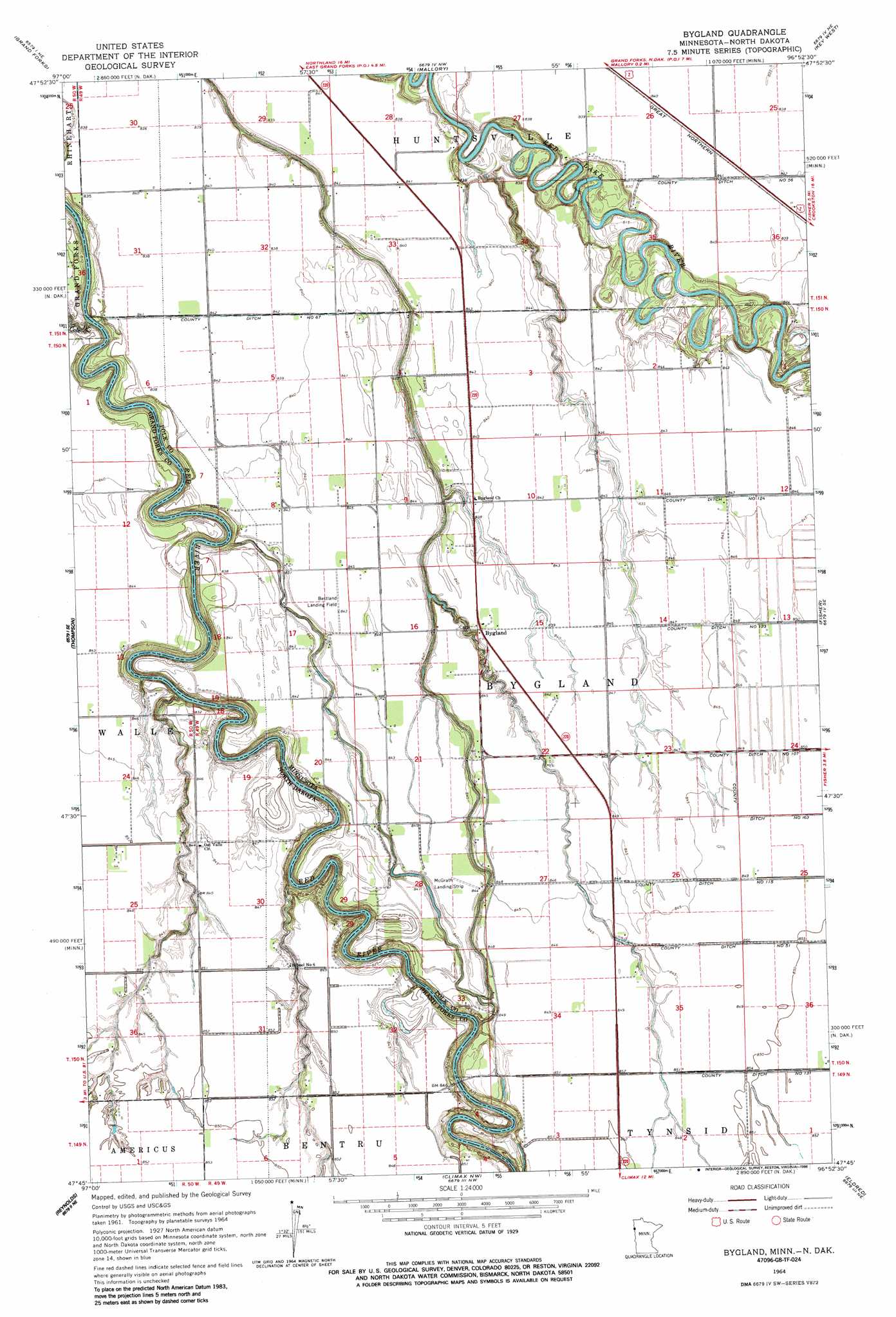
USGS Topo Quad 47096g8 - 1:24,000 scale
| Topo Map Name: | Bygland |
| USGS Topo Quad ID: | 47096g8 |
| Print Size: | ca. 21 1/4" wide x 27" high |
| Southeast Coordinates: | 47.75° N latitude / 96.875° W longitude |
| Map Center Coordinates: | 47.8125° N latitude / 96.9375° W longitude |
| U.S. States: | MN, ND |
| Filename: | o47096g8.jpg |
| Download Map JPG Image: | Bygland topo map 1:24,000 scale |
| Map Type: | Topographic |
| Topo Series: | 7.5´ |
| Map Scale: | 1:24,000 |
| Source of Map Images: | United States Geological Survey (USGS) |
| Alternate Map Versions: |
Bygland MN 1964, updated 1966 Download PDF Buy paper map Bygland MN 2011 Download PDF Buy paper map Bygland MN 2013 Download PDF Buy paper map Bygland MN 2016 Download PDF Buy paper map |
1:24,000 Topo Quads surrounding Bygland
Manvel |
Oslo Se |
Warren Sw |
Tabor |
Angus |
Kelly |
Grand Forks |
Mallory |
Key West |
Euclid |
Grand Forks Sw |
Thompson |
Bygland |
Fisher |
Crookston Sw |
Buxton Nw |
Reynolds |
Climax Nw |
Eldred |
Girard |
Buxton Sw |
Buxton |
Climax Sw |
Climax |
Beltrami Sw |
> Back to 47096e1 at 1:100,000 scale
> Back to 47096a1 at 1:250,000 scale
> Back to U.S. Topo Maps home
Bygland topo map: Gazetteer
Bygland: Canals
County Ditch Number Fiftysix elevation 257m 843′County Ditch Number One Hundred Fifteen elevation 259m 849′
County Ditch Number One Hundred Twentyfour elevation 258m 846′
County Ditch Number One Hundred Twentythree elevation 259m 849′
County Ditch Number Sixtyseven elevation 256m 839′
Bygland: Populated Places
Bygland elevation 258m 846′Bygland: Post Offices
Bygland Post Office (historical) elevation 257m 843′Wig Post Office (historical) elevation 255m 836′
Bygland: Streams
Cole Creek elevation 244m 800′Bygland digital topo map on disk
Buy this Bygland topo map showing relief, roads, GPS coordinates and other geographical features, as a high-resolution digital map file on DVD:
Eastern North Dakota & Eastern South Dakota
Buy digital topo maps: Eastern North Dakota & Eastern South Dakota