Clementsville Topo Map North Dakota
To zoom in, hover over the map of Clementsville
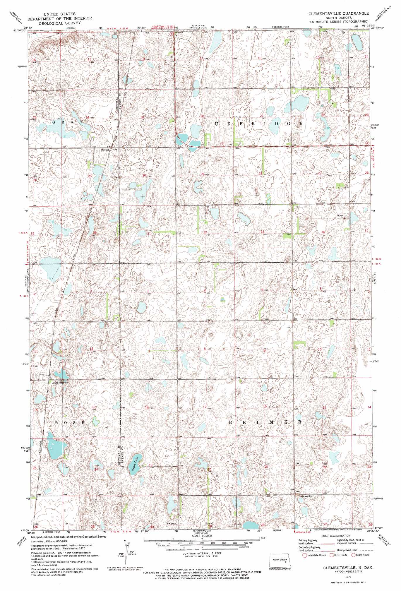
USGS Topo Quad 47098a4 - 1:24,000 scale
| Topo Map Name: | Clementsville |
| USGS Topo Quad ID: | 47098a4 |
| Print Size: | ca. 21 1/4" wide x 27" high |
| Southeast Coordinates: | 47° N latitude / 98.375° W longitude |
| Map Center Coordinates: | 47.0625° N latitude / 98.4375° W longitude |
| U.S. State: | ND |
| Filename: | O47098A4.jpg |
| Download Map JPG Image: | Clementsville topo map 1:24,000 scale |
| Map Type: | Topographic |
| Topo Series: | 7.5´ |
| Map Scale: | 1:24,000 |
| Source of Map Images: | United States Geological Survey (USGS) |
| Alternate Map Versions: |
Clementsville ND 1970, updated 1973 Download PDF Buy paper map Clementsville ND 2011 Download PDF Buy paper map Clementsville ND 2014 Download PDF Buy paper map |
1:24,000 Topo Quads surrounding Clementsville
Kensal |
Kensal Se |
Sutton Sw |
Revere |
Hannaford |
Courtenay Nw |
Courtenay |
Wimbledon |
Wimbledon Ne |
Dazey |
Fried |
Spiritwood Lake |
Clementsville |
Leal |
Rogers |
Jamestown |
Bloom |
Spiritwood |
Eckelson |
Sanborn |
Homer |
Ypsilanti |
Eckelson Sw |
Eckelson Se |
Moon Lake |
> Back to 47098a1 at 1:100,000 scale
> Back to 47098a1 at 1:250,000 scale
> Back to U.S. Topo Maps home
Clementsville topo map: Gazetteer
Clementsville: Lakes
Scotts Lake elevation 447m 1466′Clementsville: Populated Places
Clementsville elevation 453m 1486′Durupt elevation 457m 1499′
Clementsville digital topo map on disk
Buy this Clementsville topo map showing relief, roads, GPS coordinates and other geographical features, as a high-resolution digital map file on DVD:
Eastern North Dakota & Eastern South Dakota
Buy digital topo maps: Eastern North Dakota & Eastern South Dakota